2020s Maps of Inkom, Idaho
Explore 4 historic maps of Inkom from the 2020s. These maps offer a rare glimpse into what life looked like during the 2020s — showing old roads, neighborhoods, homes, and landmarks that have changed or disappeared over time.
Whether you're researching your family's past, planning a metal detecting trip, or studying how Inkom's landscape evolved across the 2020s, these high-resolution maps are a powerful tool for exploring the history of this region.
- Focus on a specific era: All maps on this page are from the 2020s, giving you a focused view of this time period.
- See what’s changed: Compare century-old streets, trails, and buildings to today's modern landscape using overlays and satellite layers.
- Research with precision: Use these maps for genealogy, historical research, land use analysis, or educational projects.
- View, download, or print: Maps are fully viewable online in high resolution, and can be downloaded or printed for your own records.
Start exploring Inkom's history through authentic maps from the 2020s. This is your window into the past.
Inkom, ID maps
(4)- 2020 Map of Bonneville Peak, 2020 Print
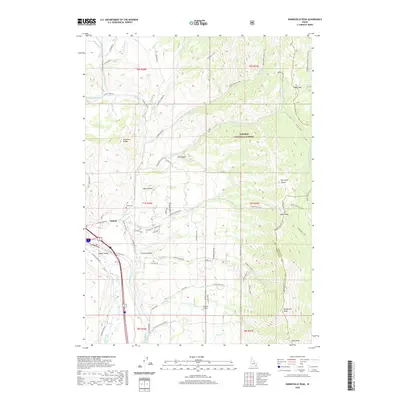 2020 Bonneville Peak2020 Print · USGSCovers Inkom, including Bannock County, Caribou County, and other nearby areas
 - 2020 Map of Inkom, 2020 Print
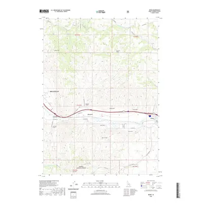 2020 Inkom2020 Print · USGSCovers Inkom, including Pocatello, Bannock County, and other nearby areas
 - 2023 Map of Inkom, 2023 Print
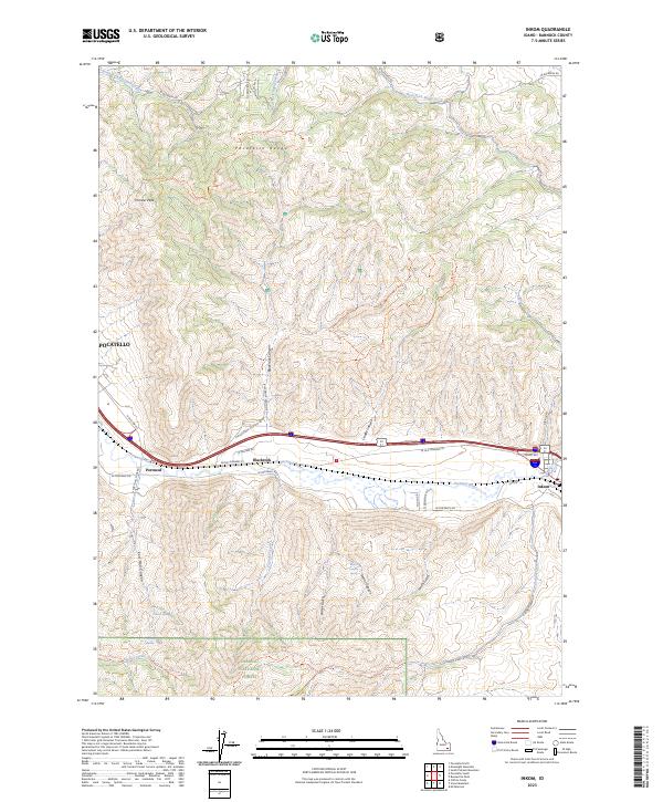 2023 Inkom2023 Print · USGSInkom and the surrounding river valley are captured here as they appeared in the early 2020s, showing the intersection of high-desert terrain and rural Idaho settlement. Researchers can trace the rugged topography from Chinese Peak down to the banks of the Portneuf River and the small community of Blackrock.
 - 2023 Map of Bonneville Peak, 2023 Print
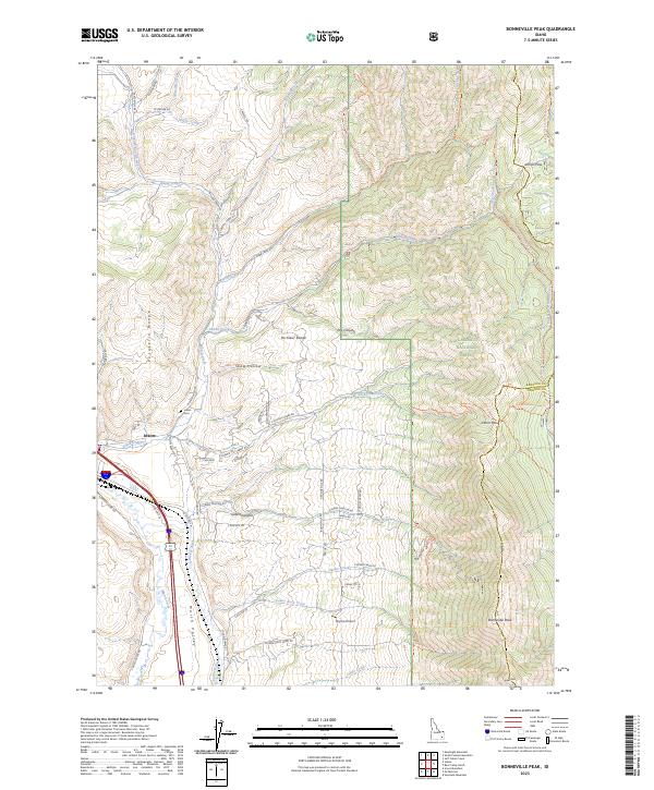 2023 Bonneville Peak2023 Print · USGSBannock County's mountain passes and river valleys are captured here as they appeared in the early 2020s. Genealogists and hikers can trace the geography around Inkom, from the Inkom Cem to the high trails surrounding Bonneville Peak.
End of results
Showing maps 1-4 of 4
Top cities near Inkom
Frequently asked questions
- What are the different types of historical maps available for Inkom?
- What is the oldest map of Inkom?
- Where can I purchase historical maps of Inkom for my home or office?
- Where can I download high-res historical maps of Inkom?
- Are there historical topographic maps available for Inkom?
- Is there historical aerial imagery available for Inkom?
- Where are historical maps of Inkom sourced from?