Old Maps of Inkom, Idaho for Academic Research
Study the evolution of Inkom with 17 high-resolution historic maps. Whether you're teaching, researching, or modeling changes in land use, these maps provide essential visual documentation of urban, environmental, and geographic change.
- Analyze long-term change: Track patterns in development, transportation, and natural features.
- Ideal for environmental or urban studies: Support academic projects with primary historical map data.
- Use in the classroom or lab: Educators and researchers rely on these maps to bring historical context to life.
These maps are a powerful tool for teaching, research, and visualizing how Inkom has changed over the decades.
Inkom, ID maps
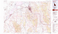
(17)- 1937 Map of Pocatello
 1937 Pocatello1937 Print · USGSBannock County is captured in the late 1930s as a burgeoning rail and highway crossroads along the Portneuf River. Genealogists can locate family landmarks in old Alameda, trace the Fort Hall Mine, or find rural school sites like Blackrock Sch.3 unique versions available
 - 1944 Map of Pocatello
 1944 Pocatello1944 Print · USGSBannock County and the Fort Hall Indian Reservation are captured here in the years leading up to the second World War. Researchers can trace the early streets of Pocatello and Alameda, or locate rural landmarks like the Portneuf Sch and the Fort Hall Mine.
 - 1954 Map of Pocatello, 1963 Print
 1954 Pocatello1963 Print · USGSSoutheast Idaho in the mid-1950s reveals a landscape shaped by massive water reclamation and mountain forests. Researchers can trace the development of the Fort Hall Indian Reservation or locate specific landmarks like the Arbon P O and Emerson School.4 unique versions available
 - 1958 Map of Pocatello
 1958 Pocatello1958 Print · USGSSoutheastern Idaho in the late fifties was a landscape of expanding reservoirs and historic trails. Genealogists and historians can trace the Old Oregon Trail, locate the Bannock Creek Indian Day School, and study the many Union Pacific rail sidings.2 unique versions available
 - 1968 Map of Bonneville Peak, 1972 Print
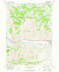
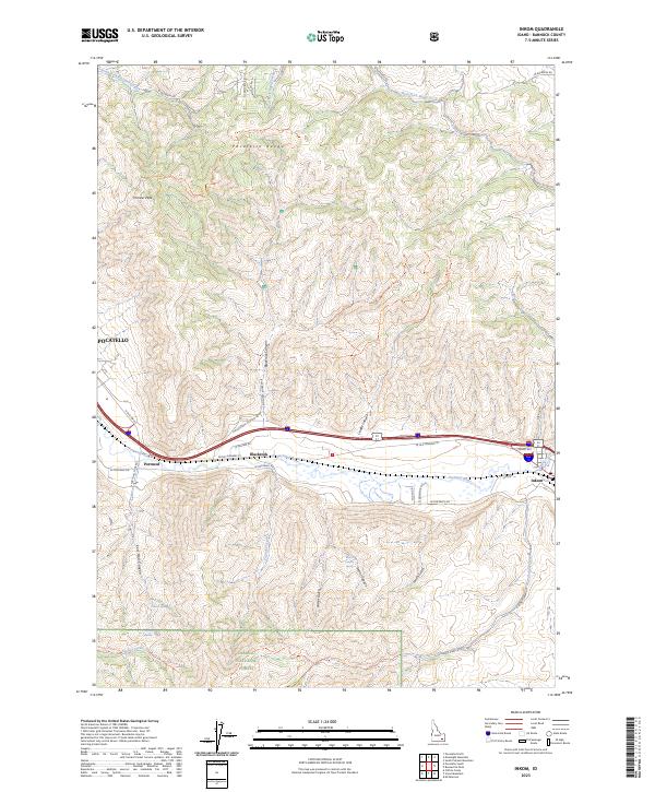
 1968 Bonneville Peak1972 Print · USGSInkom and the surrounding Bannock County highlands are captured here in the late sixties as the rail and river corridor meets the mountains. Genealogists and hikers can trace old family-named routes and landmarks like Inkom Cem, Bonneville Peak, and the Inman Pass Trail.2 unique versions available
 - 1971 Map of Inkom, 1974 Print
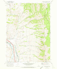
 1971 Inkom1974 Print · USGSInkom and the Portneuf River valley are captured in the early seventies as a hub for rail transport and mountain recreation. Researchers can trace the Union Pacific line, locate the Silver Sage Girl Scout Camp, and find the historic Fort Hall Mine near the forest boundary.2 unique versions available
 - 1984 Map of Pocatello
 1984 Pocatello1984 Print · USGSSoutheast Idaho in the early eighties centers on the industrial and rail corridor between Pocatello and the Snake River. Genealogists and historians can trace routes through the Fort Hall Indian Reservation or locate family sites near American Falls and Lava Hot Springs.2 unique versions available
 - 2011 Map of Inkom, 2011 Print
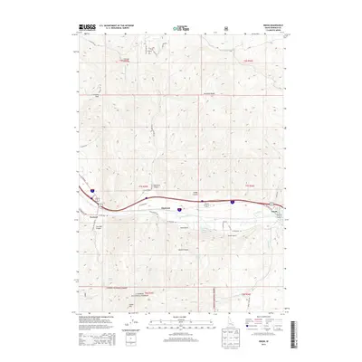
 2011 Inkom2011 Print · USGSCovers Inkom, including Pocatello, Bannock County, and other nearby areas
 - 2011 Map of Bonneville Peak, 2011 Print
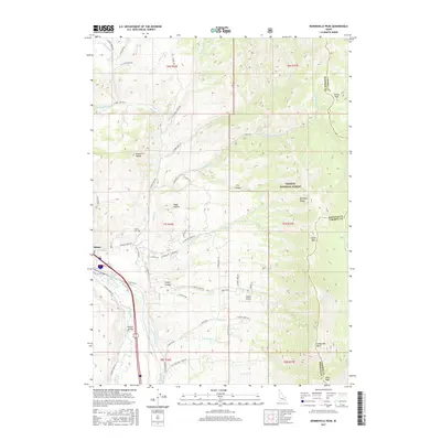
 2011 Bonneville Peak2011 Print · USGSCovers Inkom, including Bannock County, Caribou County, and other nearby areas
 - 2013 Map of Inkom, 2013 Print
 2013 Inkom2013 Print · USGSCovers Inkom, including Pocatello, Bannock County, and other nearby areas
 - 2013 Map of Bonneville Peak, 2013 Print
 2013 Bonneville Peak2013 Print · USGSCovers Inkom, including Bannock County, Caribou County, and other nearby areas
 - 2017 Map of Bonneville Peak, 2017 Print
 2017 Bonneville Peak2017 Print · USGSCovers Inkom, including Bannock County, Caribou County, and other nearby areas
 - 2017 Map of Inkom, 2017 Print
 2017 Inkom2017 Print · USGSCovers Inkom, including Pocatello, Bannock County, and other nearby areas
 - 2020 Map of Bonneville Peak, 2020 Print
 2020 Bonneville Peak2020 Print · USGSCovers Inkom, including Bannock County, Caribou County, and other nearby areas
 - 2020 Map of Inkom, 2020 Print
 2020 Inkom2020 Print · USGSCovers Inkom, including Pocatello, Bannock County, and other nearby areas
 - 2023 Map of Inkom, 2023 Print
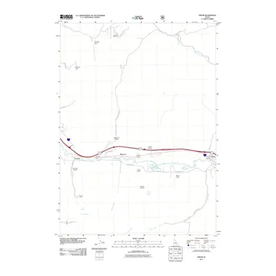
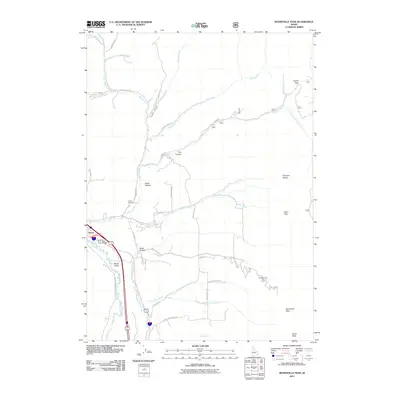
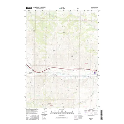
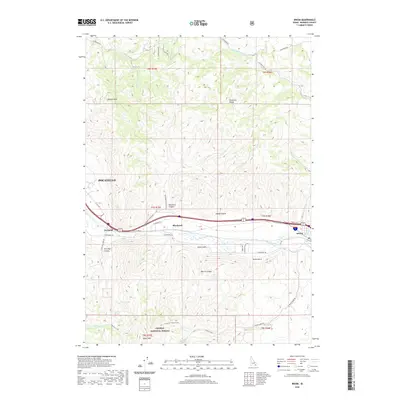
 2023 Inkom2023 Print · USGSInkom and the surrounding river valley are captured here as they appeared in the early 2020s, showing the intersection of high-desert terrain and rural Idaho settlement. Researchers can trace the rugged topography from Chinese Peak down to the banks of the Portneuf River and the small community of Blackrock.
 - 2023 Map of Bonneville Peak, 2023 Print
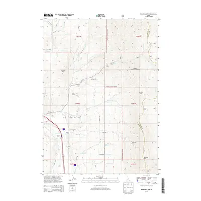
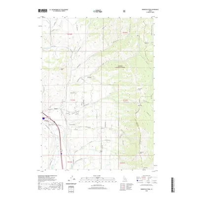
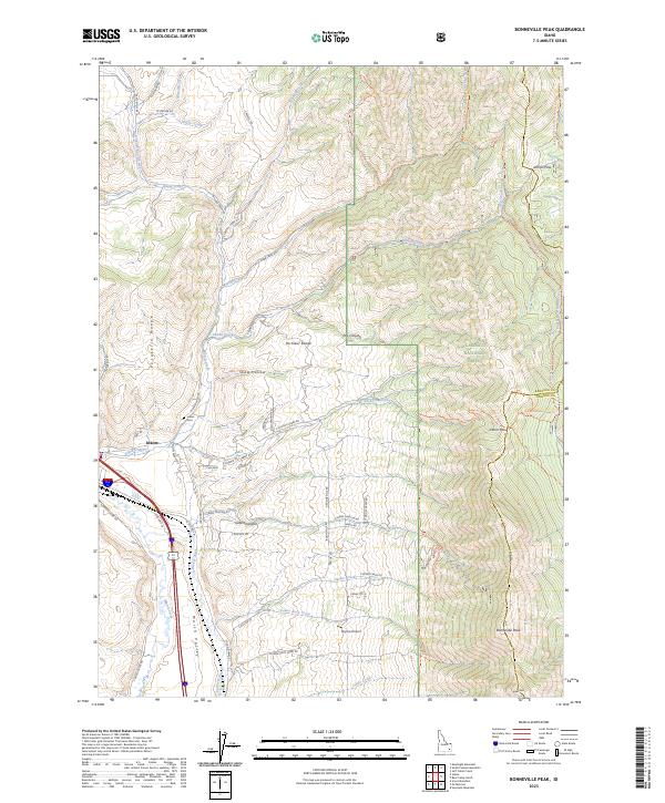 2023 Bonneville Peak2023 Print · USGSBannock County's mountain passes and river valleys are captured here as they appeared in the early 2020s. Genealogists and hikers can trace the geography around Inkom, from the Inkom Cem to the high trails surrounding Bonneville Peak.
End of results
Showing maps 1-17 of 17
Top cities near Inkom
Frequently asked questions
- What are the different types of historical maps available for Inkom?
- What is the oldest map of Inkom?
- Where can I purchase historical maps of Inkom for my home or office?
- Where can I download high-res historical maps of Inkom?
- Are there historical topographic maps available for Inkom?
- Is there historical aerial imagery available for Inkom?
- Where are historical maps of Inkom sourced from?