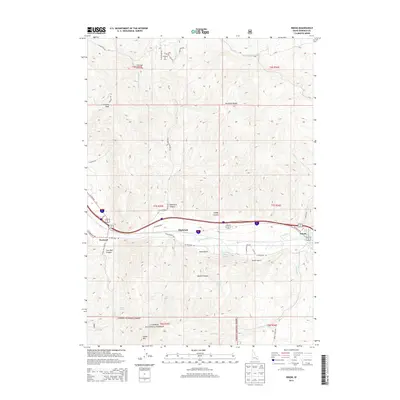
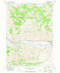
2013 Map of Inkom
USGS Topo · Published 2013About this map
Inkom and Portneuf anchor this 2013 topographic study of the canyon country south of Pocatello, where the Portneuf River winds through a valley defined by the Pocatello Range. The landscape is a mix of high-altitude recreation and transit corridors, featuring the Caribou Ski Area and the Silver Sage Scout Camp in the northern hills. The southern reaches are dominated by the Caribou National Forest, where steep terrain leads to Indian Mtn and Chinese Peak.
Find a feature on this map
50 named features on this map. Tap any name to fly to it.
Don’t see what you’re looking for? This feature index may not catch every label — zoom into the map to look around manually.
Map Details
Editions of this 2013 Inkom Map
This is the sole edition of this map. No revisions or reprints were ever made.
Other maps of this area

1937 · Pocatello
USGS Topo · 1:48,000

1944 · Pocatello
USGS Topo · 1:62,500

1954 · Pocatello
USGS Topo · 1:250,000

1958 · Pocatello
USGS Topo · 1:250,000

1968 · Clifton Creek
USGS Topo · 1:24,000
1968 · South Putnam Mtn
USGS Topo · 1:24,000
1968 · Bonneville Peak
USGS Topo · 1:24,000

1968 · Mc Cammon
USGS Topo · 1:24,000
1968 · Scout Mtn
USGS Topo · 1:24,000
1971 · Inkom
USGS Topo · 1:24,000