Old Maps of McCammon, Idaho for Hiking & Exploration
Hike through history with 9 historic maps of McCammon. Explore old trails, ghost towns, and forgotten backroads — perfect for outdoor adventurers and local explorers.
- Rediscover forgotten places: Map out old mining camps, roads, and footpaths that no longer exist on modern maps.
- Layer with modern tools: Combine with LiDAR or satellite views to plan hikes through historical terrain.
- Made for exploration: Popular among hikers, overlanders, and local history lovers.
Use these maps to find adventure and explore the hidden past of McCammon.
McCammon, ID maps
(9)- 1954 Map of Pocatello, 1963 Print
 1954 Pocatello1963 Print · USGSSoutheast Idaho in the mid-1950s reveals a landscape shaped by massive water reclamation and mountain forests. Researchers can trace the development of the Fort Hall Indian Reservation or locate specific landmarks like the Arbon P O and Emerson School.4 unique versions available
 - 1958 Map of Pocatello
 1958 Pocatello1958 Print · USGSSoutheastern Idaho in the late fifties was a landscape of expanding reservoirs and historic trails. Genealogists and historians can trace the Old Oregon Trail, locate the Bannock Creek Indian Day School, and study the many Union Pacific rail sidings.2 unique versions available
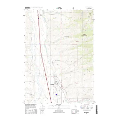
 - 1968 Map of Mc Cammon, 1973 Print
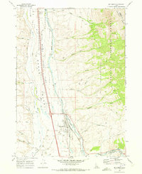 1968 Mc Cammon1973 Print · USGSSoutheast Idaho's high valley landscape comes to life in the late sixties, centered on the railroad crossroads of McCammon. Trace the historic Old Indian Treaty Bdy and find unique landmarks like the Petroglyphs near the Portneuf River.2 unique versions available
 - 1984 Map of Pocatello
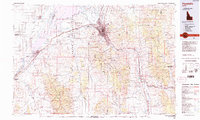 1984 Pocatello1984 Print · USGSSoutheast Idaho in the early eighties centers on the industrial and rail corridor between Pocatello and the Snake River. Genealogists and historians can trace routes through the Fort Hall Indian Reservation or locate family sites near American Falls and Lava Hot Springs.2 unique versions available
 - 2011 Map of McCammon, 2011 Print
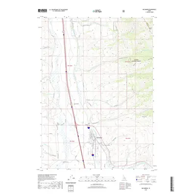
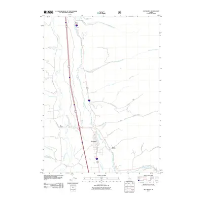 2011 McCammon2011 Print · USGSCovers McCammon, including Bannock County, Caribou County, and other nearby areas
 - 2013 Map of McCammon, 2013 Print
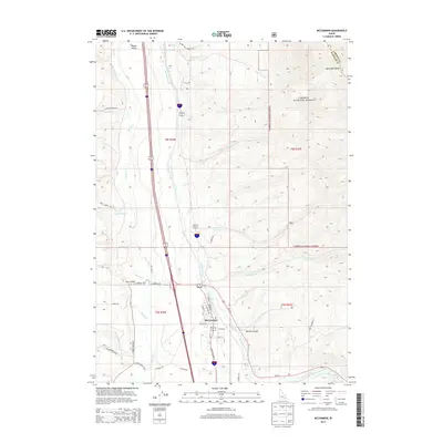 2013 McCammon2013 Print · USGSCovers McCammon, including Bannock County, Caribou County, and other nearby areas
 - 2017 Map of McCammon, 2017 Print
 2017 McCammon2017 Print · USGSCovers McCammon, including Bannock County, Caribou County, and other nearby areas
 - 2020 Map of McCammon, 2020 Print
 2020 McCammon2020 Print · USGSCovers McCammon, including Bannock County, Caribou County, and other nearby areas
 - 2023 Map of McCammon, 2023 Print
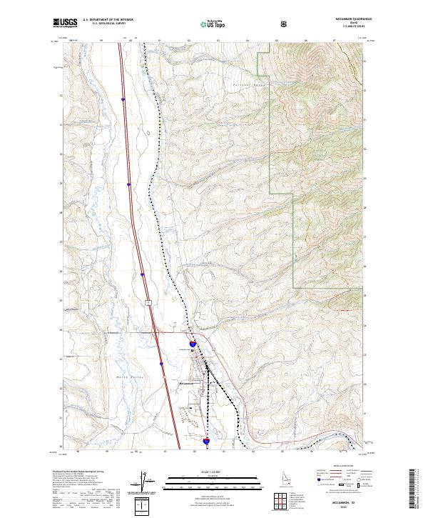 2023 McCammon2023 Print · USGSBannock County's rugged ranching and river lands are showcased in this modern survey of the Portneuf Valley. Researchers can trace family history at Harkness Cem or follow the historic Robbers Roost Trl through the Caribou National Forest.
End of results
Showing maps 1-9 of 9
Top cities near McCammon
- Pocatello historical maps
- Inkom historical maps
- Downey historical maps
- Lava Hot Springs historical maps
- Arimo historical maps
Frequently asked questions
- What are the different types of historical maps available for McCammon?
- What is the oldest map of McCammon?
- Where can I purchase historical maps of McCammon for my home or office?
- Where can I download high-res historical maps of McCammon?
- Are there historical topographic maps available for McCammon?
- Is there historical aerial imagery available for McCammon?
- Where are historical maps of McCammon sourced from?