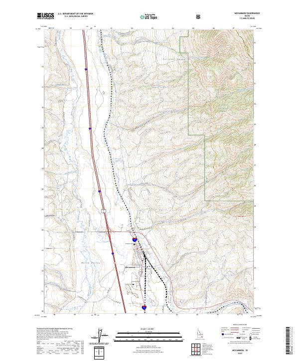
2023 Map of McCammon
USGS Topo · Published 2023About this map
The McCammon townsite serves as the central hub of this topographical survey, situated where the Portneuf River and Marsh Creek meet at the base of the Portneuf Range. The geography is defined by the broad Marsh Valley, which transitions into the steep canyons and timbered slopes of the Caribou National Forest to the east. Local history is anchored by the Harkness Cem and Norton Cem, which reflect the area's early settlement by pioneering families near the canyon mouths.
Find a feature on this map
53 named features on this map. Tap any name to fly to it.
Don’t see what you’re looking for? This feature index may not catch every label — zoom into the map to look around manually.
Map Details
Editions of this 2023 McCammon Map
This is the sole edition of this map. No revisions or reprints were ever made.
Other maps of this area

1937 · Pocatello
USGS Topo · 1:48,000

1944 · Pocatello
USGS Topo · 1:62,500

1954 · Pocatello
USGS Topo · 1:250,000

1958 · Pocatello
USGS Topo · 1:250,000

1968 · Bear Camp Gulch
USGS Topo · 1:24,000

1968 · Hawkins
USGS Topo · 1:24,000

1968 · Lava Hot Springs
USGS Topo · 1:24,000
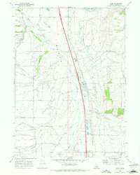
1968 · Arimo
USGS Topo · 1:24,000
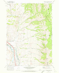
1968 · Bonneville Peak
USGS Topo · 1:24,000
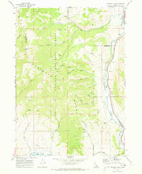
1968 · Haystack Mtn
USGS Topo · 1:24,000