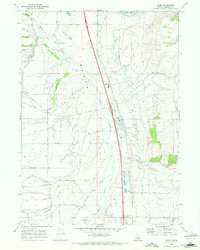
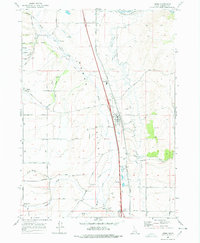
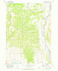
1968 Map of Arimo
USGS Topo · Published 1972About this map
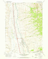
Marsh Valley serves as the central corridor for transport and settlement in this late 1960s Idaho landscape. The Union Pacific railroad runs parallel to the modern highway through the town of Arimo, which serves as a local hub with its Substation and proximity to the Marsh Valley High Sch. The western portion of the map transitions into higher ground, where the historic Robin Old Indian Treaty Road and an Old Railroad Grade trace older movement patterns across the terrain near the settlement of Robin.
Find a feature on this map
45 named features on this map. Tap any name to fly to it.
Don’t see what you’re looking for? This feature index may not catch every label — zoom into the map to look around manually.
Map Details
Editions of this 1968 Arimo Map
2 editions found
Other maps of this area

1954 · Pocatello
USGS Topo · 1:250,000

1958 · Pocatello
USGS Topo · 1:250,000
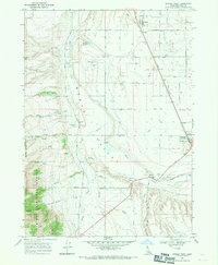
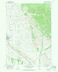
1968 · Downey West
USGS Topo · 1:24,000
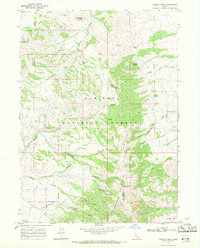
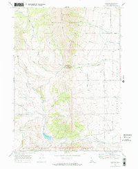
1968 · Wakley Peak
USGS Topo · 1:24,000
1968 · Downey East
USGS Topo · 1:24,000
1968 · Hawkins
USGS Topo · 1:24,000
1968 · Lava Hot Springs
USGS Topo · 1:24,000
1968 · Haystack Mtn
USGS Topo · 1:24,000
1968 · Mc Cammon
USGS Topo · 1:24,000
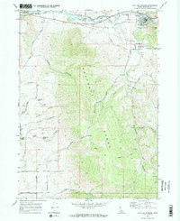
1968 · Scout Mtn
USGS Topo · 1:24,000