Old Maps of Flat Creek, Idaho for Metal Detecting
Plan your next treasure hunt with 11 historic maps of Flat Creek. Find old homesites, ghost towns, trails, and gathering spots that may be lost to time — perfect for identifying promising metal detecting locations.
- Locate forgotten sites: Uncover places like long-lost settlements, abandoned rail lines, or gathering spots.
- Plan better hunts: Use map overlays combined with LiDAR or satellite views to narrow in on historically rich areas.
- Made for detectorists: Thousands of hobbyists use these maps to discover relics, coins, and hidden history.
Use these historic maps to boost your research and find new opportunities beneath the surface of Flat Creek.
Flat Creek, ID maps
(11)- 1955 Map of Spokane, 1965 Print
 1955 Spokane1965 Print · USGSInland Empire life in the fifties and sixties centers on the growth of Spokane and the heavy mining industry of northern Idaho. Trace mid-century landmarks like Fairchild Air Force Base, the Bunker Hill Mine, and early campuses such as Gonzaga University.2 unique versions available
 - 1958 Map of Spokane
 1958 Spokane1958 Print · USGSThe Inland Empire is shown at a mid-century peak of industrial and military activity, from the rail hubs of Spokane to the deep silver mines of northern Idaho. Researchers can trace the sprawling rail lines of the Union Pacific RR or locate landmarks like Fairchild Air Force Base and the Bunker Hill Smelter & Mine.
 - 1961 Map of Fernwood, 1963 Print
 1961 Fernwood1963 Print · USGSThe St Maries River valley and the surrounding timberlands are captured here in the early 1960s. Researchers can trace the route of the Chicago Milwaukee St Paul and Pacific railroad through Fernwood and find local landmarks like the Cem at Santa.2 unique versions available
 - 1981 Map of St Maries
 1981 St Maries1981 Print · USGSThe timber and rail hub of St. Maries is captured here in the early 1980s as the river-and-rail economy defined the Panhandle. Researchers can trace historic transport corridors including the Union Pacific tracks and remote landings along the St Joe River and Chatcolet Lake.2 unique versions available
 - 1990 Map of Santa, 1991 Print
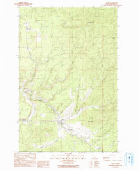 1990 Santa1991 Print · USGSThe St Maries River valley in the early 1990s was a landscape of small riverbank settlements and timbered ridges. Researchers can trace the layout of Santa, find old riverside locations like Mashburn and Renfrew, and locate the Vanderpool Picnic Area Campground.
 - 1995 Map of Santa, 1997 Print
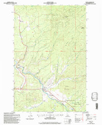 1995 Santa1997 Print · USGSBenewah County in the mid-1990s shows the Maries River valley as a corridor of small settlements and forest industry infrastructure. Researchers can locate Renfrew Cemetery, the riverside community of Mashburn, and the timber heights of Pettis Peak.
 - 2011 Map of Santa, 2011 Print
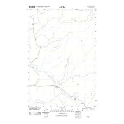 2011 Santa2011 Print · USGSBenewah County’s river-carved valleys are captured here in the early twenty-first century as the timber and rail landscape endures. Researchers can trace local history through settlements like Santa and Mashburn or find family-named landmarks like Pettis Peak.
 - 2013 Map of Santa, 2013 Print
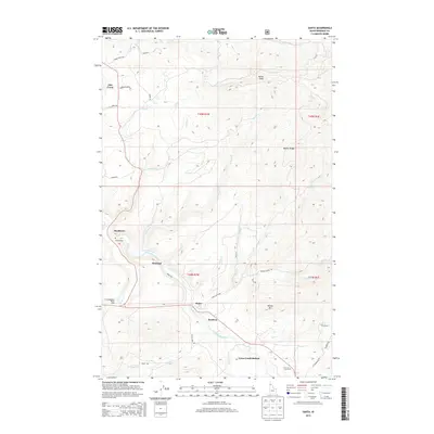 2013 Santa2013 Print · USGSBenewah County’s river valleys and timbered ridges are captured here during the early twenty-first century. Genealogists and local historians can trace the riverside settlements of Santa, Mashburn, and Wayland alongside landmarks like Tyson Creek Station and Tse'ltm Rock.
 - 2017 Map of Santa, 2017 Print
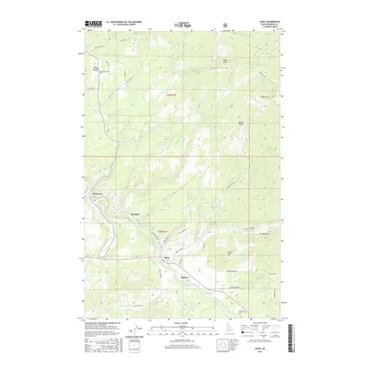 2017 Santa2017 Print · USGSThe Saint Maries River valley in the late 2010s reveals a landscape shaped by timber and high-country meadows. Genealogists and local historians can trace the footprint of settlements like Santa, Wayland, and Mashburn alongside landmarks such as Pettis Peak.
 - 2020 Map of Santa, 2020 Print
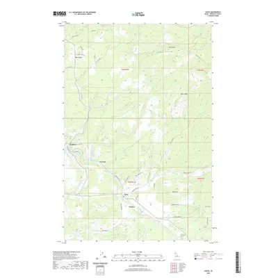 2020 Santa2020 Print · USGSBenewah County’s river valleys and timbered ridges are captured in detail here during the modern era. Genealogists and local historians can trace the rural communities of Santa, Renfrew, and Flat Creek as they sit alongside the Saint Marys River.
 - 2024 Map of Santa, 2024 Print
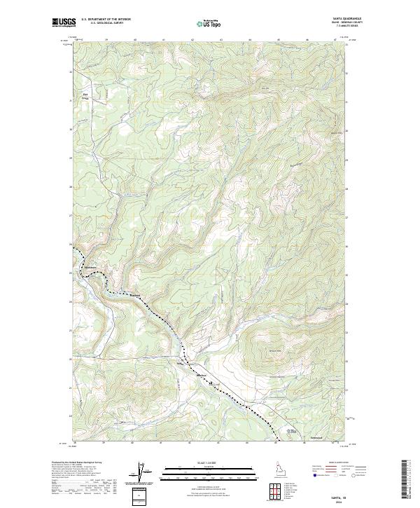 2024 Santa2024 Print · USGSBenewah County’s mountain valleys are documented in the mid-2020s, showing the enduring structure of river-side settlements and logging routes. Researchers can trace family sites near Santa, Fernwood, and Mashburn, or locate the Riverview Cem along the Saint Maries River.
End of results
Showing maps 1-11 of 11
Top cities near Flat Creek
Frequently asked questions
- What are the different types of historical maps available for Flat Creek?
- What is the oldest map of Flat Creek?
- Where can I purchase historical maps of Flat Creek for my home or office?
- Where can I download high-res historical maps of Flat Creek?
- Are there historical topographic maps available for Flat Creek?
- Is there historical aerial imagery available for Flat Creek?
- Where are historical maps of Flat Creek sourced from?