Old Maps of Alridge, Idaho for Genealogy
Trace your family roots with 11 historic maps of Alridge. These high-res maps reveal old neighborhoods, homesites, landmarks, and streets — helping you uncover where your ancestors lived and how the area evolved over time.
- Explore historic neighborhoods: Identify where your relatives may have lived in the 1800s or 1900s.
- Compare maps over time: Trace the changes in streets, buildings, and landmarks for multi-generational research.
- Perfect for genealogy & ancestry research: Used by family historians and researchers to map out lineage and migration.
These maps are an incredible resource for exploring your personal connection to Alridge's past.
Alridge, ID maps
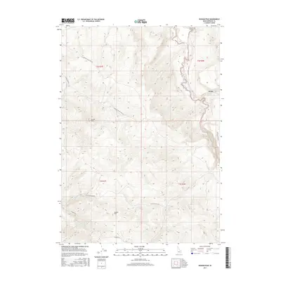
(11)- 1951 Map of Higham Peak, 1952 Print
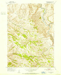 1951 Higham Peak1952 Print · USGSThe Fort Hall Indian Reservation in the early fifties reveals a landscape of high peaks and vital waterways. Genealogists and historians can trace the Portneuf Presto Trail and locate family landmarks near Higham Peak or the Blackfoot River.2 unique versions available
 - 1955 Map of Yandell Springs, 1957 Print
 1955 Yandell Springs1957 Print · USGSBingham County in the mid-1950s was a landscape of high-country springs and developing phosphate mines. Researchers can trace the Fort Hall Indian Reservation boundary, locate the Westvaco Mine, and find the Fort Hall No 2 Historic Site.
 - 1955 Map of Idaho Falls, 1963 Print
 1955 Idaho Falls1963 Print · USGSThe Snake River Plain and its surrounding volcanic peaks are captured in the late fifties, showing the region's unique mix of nuclear research and high-desert ranching. Trace the industrial footprint of the National Reactor Testing Station or find old mining sites like Empire Mine.5 unique versions available
 - 1958 Map of Idaho Falls
 1958 Idaho Falls1958 Print · USGSEastern Idaho in the late fifties showcases the rapid expansion of agricultural and scientific outposts across its volcanic plains. Researchers can locate remote sites like Atomic City, mineral interests at White Knob Mine, and the cultural grounds of St Marys Mission.2 unique versions available
 - 1978 Map of Blackfoot, 1997 Print
 1978 Blackfoot1997 Print · USGSThe Snake River Valley in the late 1970s shows a landscape of volcanic lava flows meeting intensive irrigation. Genealogists and local historians can trace the irrigation canals and rail towns from Atomic City to the Fort Hall Indian Reservation and Gay Mine.
 - 1998 Map of Higham Peak, 2002 Print
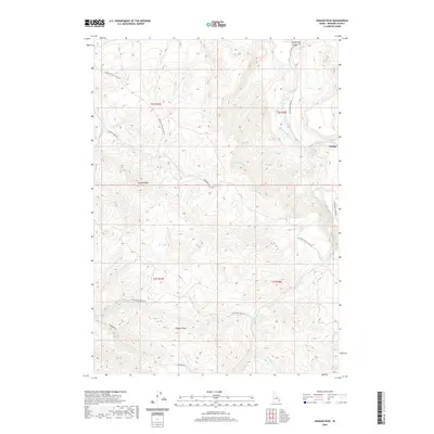
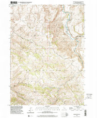 1998 Higham Peak2002 Print · USGSThe high ridges of Bingham County are documented here in the late 1990s, where the Fort Hall Indian Reservation Boundary meets the backcountry. Trace historical routes like the Portneuf Presto Trail and water features such as Little Indian Ditch and Cove Spring.
 - 2010 Map of Higham Peak, 2010 Print
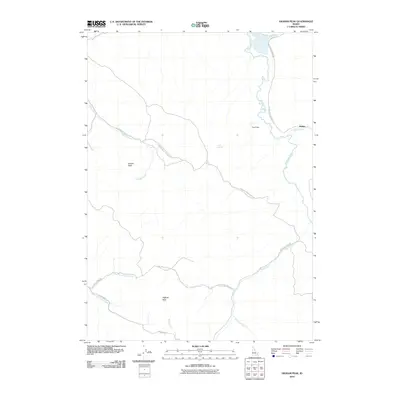 2010 Higham Peak2010 Print · USGSCovers Alridge, including Bingham County, United States, and other nearby areas
 - 2013 Map of Higham Peak, 2013 Print
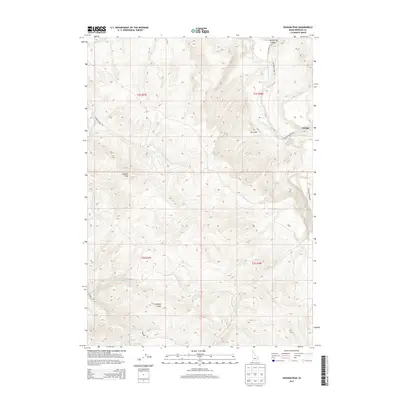 2013 Higham Peak2013 Print · USGSCovers Alridge, including Bingham County, United States, and other nearby areas
 - 2017 Map of Higham Peak, 2017 Print
 2017 Higham Peak2017 Print · USGSCovers Alridge, including Bingham County, United States, and other nearby areas
 - 2020 Map of Higham Peak, 2020 Print
 2020 Higham Peak2020 Print · USGSCovers Alridge, including Bingham County, United States, and other nearby areas
 - 2024 Map of Higham Peak, 2024 Print
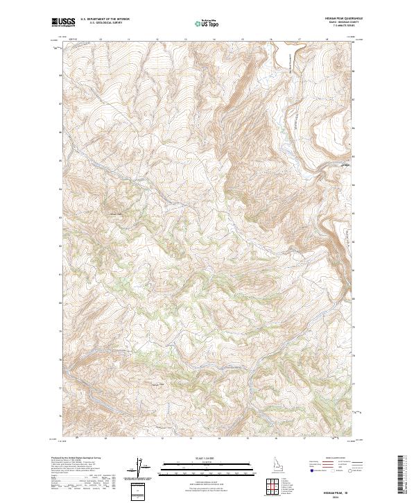 2024 Higham Peak2024 Print · USGSThe Blackfoot Mountains in eastern Idaho are shown here in detail during the early twenty-first century. Researchers can trace the high-altitude terrain surrounding Higham Peak and Garden Peak or locate the settlement of Alridge along the Blackfoot River.
End of results
Showing maps 1-11 of 11
Top cities near Alridge
Frequently asked questions
- What are the different types of historical maps available for Alridge?
- What is the oldest map of Alridge?
- Where can I purchase historical maps of Alridge for my home or office?
- Where can I download high-res historical maps of Alridge?
- Are there historical topographic maps available for Alridge?
- Is there historical aerial imagery available for Alridge?
- Where are historical maps of Alridge sourced from?