Old Maps of Grandjean, Idaho for Genealogy
Trace your family roots with 13 historic maps of Grandjean. These high-res maps reveal old neighborhoods, homesites, landmarks, and streets — helping you uncover where your ancestors lived and how the area evolved over time.
- Explore historic neighborhoods: Identify where your relatives may have lived in the 1800s or 1900s.
- Compare maps over time: Trace the changes in streets, buildings, and landmarks for multi-generational research.
- Perfect for genealogy & ancestry research: Used by family historians and researchers to map out lineage and migration.
These maps are an incredible resource for exploring your personal connection to Grandjean's past.
Grandjean, ID maps
(13)- 1891 Map of Bear Valley, 1963 Print
 1891 Bear Valley1963 Print · USGSThe Idaho wilderness at the close of the nineteenth century is captured here in this early reconnaissance survey. Researchers can trace the pristine headwaters of the Middle Fork Salmon River and locate historic landmarks like Stanley Lake and Tyee Mtn.
 - 1893 Map of Bear Valley
 1893 Bear Valley1893 Print · USGSCentral Idaho in the early 1890s was a wilderness of intersecting watersheds and mountain peaks long before modern infrastructure arrived. Trace the headwaters of the Salmon River and Payette River near Cape Horn and the Sawtooth Range.5 unique versions available
 - 1957 Map of Challis, 1964 Print
 1957 Challis1964 Print · USGSCentral Idaho in the late fifties and early sixties remains a territory of remote mining camps and high-mountain ranger stations. Trace historic mining operations like the Lucky Boy Mine or locate isolated homesteads including Robinson Bar Ranch and Allison Ranch.3 unique versions available
 - 1960 Map of Challis
 1960 Challis1960 Print · USGSCentral Idaho’s high backcountry is detailed here in the early sixties, showing the remote ranching and mining life across five national forests. Genealogists and researchers can trace family holdings at the Silva Ranch or Jones Ranch and find historic sites like Redfish Lake Lodge and Clayton.
 - 1963 Map of Challis
 1963 Challis1963 Print · USGSCentral Idaho's mountain corridors and mining districts appear in detail during the early sixties, highlighting the remote settlements of Challis and Stanley. Researchers can trace the legacy of the gold and silver rushes through labels for Bonanza, the Bayhorse Mine, and the Falconberry ranch.
 - 1972 Map of Grandjean, 1976 Print
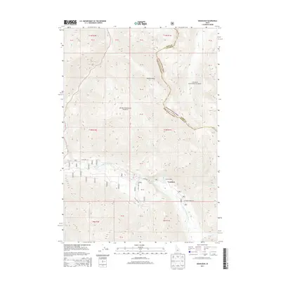
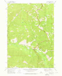 1972 Grandjean1976 Print · USGSThe Sawtooth mountains of the early seventies come alive in this survey of the river valleys and high alpine lakes near the Boise and Challis border. Trace the primitive infrastructure of the day, from the Forest Service Station at Grandjean to Sacajawea Hot Springs and the network of Pack Trails.3 unique versions available
 - 1982 Map of Deadwood River
 1982 Deadwood River1982 Print · USGSCentral Idaho in the early eighties was a vast expanse of protected wilderness and remote river canyons. Local historians and hunters can locate early landmarks like the Mary Jane Mine, the settlement of Lowman, and isolated facilities such as the Bruce Meadows Landing Strip.
 - 1989 Map of Challis
 1989 Challis1989 Print · USGSCentral Idaho in the late eighties remains a vast expanse of protected wilderness and high-mountain drainages. Researchers can trace remote settlements and backcountry outposts like Custer, Stibnite, and Sunbeam along the Salmon River and its many forks.2 unique versions available
 - 2011 Map of Grandjean, 2011 Print
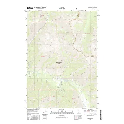
 2011 Grandjean2011 Print · USGSCovers Grandjean, including Boise County, Custer County, and other nearby areas
 - 2013 Map of Grandjean, 2013 Print
 2013 Grandjean2013 Print · USGSCovers Grandjean, including Boise County, Custer County, and other nearby areas
 - 2017 Map of Grandjean, 2017 Print
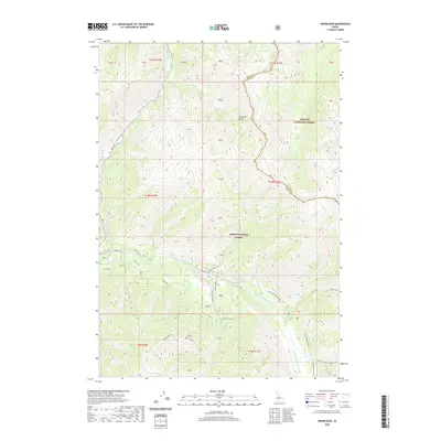
 2017 Grandjean2017 Print · USGSCovers Grandjean, including Boise County, Custer County, and other nearby areas
 - 2020 Map of Grandjean, 2020 Print
 2020 Grandjean2020 Print · USGSCovers Grandjean, including Boise County, Custer County, and other nearby areas
 - 2024 Map of Grandjean, 2024 Print
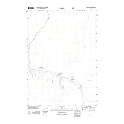
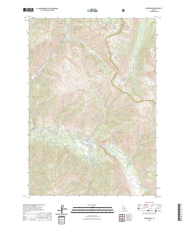 2024 Grandjean2024 Print · USGSThe Sawtooth Range in the mid-2020s remains a landscape of deep river canyons and high peaks at the intersection of national forests. Hikers and historians can trace the paths to Sacajawea Hot Springs and the remote settlement at Grand Jean.
End of results
Showing maps 1-13 of 13
Top cities near Grandjean
Frequently asked questions
- What are the different types of historical maps available for Grandjean?
- What is the oldest map of Grandjean?
- Where can I purchase historical maps of Grandjean for my home or office?
- Where can I download high-res historical maps of Grandjean?
- Are there historical topographic maps available for Grandjean?
- Is there historical aerial imagery available for Grandjean?
- Where are historical maps of Grandjean sourced from?