Old Maps of Lamb Creek, Idaho for Genealogy
Trace your family roots with 12 historic maps of Lamb Creek. These high-res maps reveal old neighborhoods, homesites, landmarks, and streets — helping you uncover where your ancestors lived and how the area evolved over time.
- Explore historic neighborhoods: Identify where your relatives may have lived in the 1800s or 1900s.
- Compare maps over time: Trace the changes in streets, buildings, and landmarks for multi-generational research.
- Perfect for genealogy & ancestry research: Used by family historians and researchers to map out lineage and migration.
These maps are an incredible resource for exploring your personal connection to Lamb Creek's past.
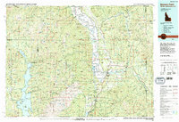
Lamb Creek, ID maps
(12)- 1911 Map of Priest Lake, 1954 Print
 1911 Priest Lake1954 Print · USGSThe Idaho Panhandle during the early 1900s was a landscape of deep lakes and high-altitude mining operations connected by new rail lines. Genealogists and historians can trace pioneer settlements like Port Hill and Coolin, or locate remote industrial sites such as the Queen Mine and Mountain Chief Mine.
 - 1913 Map of Priest Lake
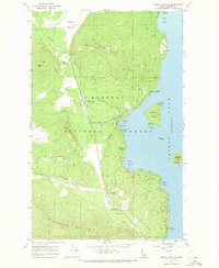
 1913 Priest Lake1913 Print · USGSThe Idaho Panhandle was a rugged network of rail sidings and mining camps in the years before the Great War. Genealogists and historians can trace old homesteads and depots from Sandpoint up to the Continental Mine and the remote border crossing at Addie.3 unique versions available
 - 1958 Map of Sandpoint, 1966 Print
 1958 Sandpoint1966 Print · USGSThe Idaho Panhandle and Northeast Washington are shown here in the late fifties, when timber and hydroelectric power drove the local economy. Trace family roots in rail-side towns like Cusick or Metaline Falls, and locate landmarks like the Albeni Falls Dam or Falls Ranger Station.2 unique versions available
 - 1963 Map of Sandpoint
 1963 Sandpoint1963 Print · USGSNorthern Idaho and eastern Washington are shown in the early sixties as a high-country network of timber, mining, and rail. Genealogists and historians can trace the Great Northern line through Metaline Falls, Bonners Ferry, and past the Finch Mine.
 - 1967 Map of Priest Lake SW, 1971 Print
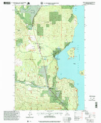
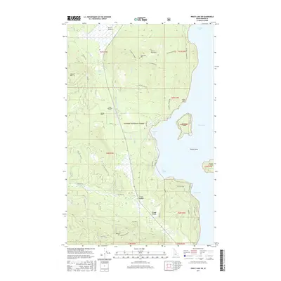
 1967 Priest Lake SW1971 Print · USGSThe western shores of Idaho's Priest Lake come alive in the late sixties, showing a landscape of forest service outposts and early lakeside recreation. Trace the location of the Priest Lake School, the Woodrat Mine, and historic Petroglyphs along the shoreline.2 unique versions available
 - 1983 Map of Bonners Ferry
 1983 Bonners Ferry1983 Print · USGSThe Idaho Panhandle and its international border with Canada are shown here in the early 1980s as the timber and mining industries shaped the landscape. Genealogists and researchers can locate northern settlements like Porthill and Naples, alongside family-named peaks and mines such as the American Girl Mine and Parker Mtn.2 unique versions available
 - 1996 Map of Priest Lake SW, 1999 Print
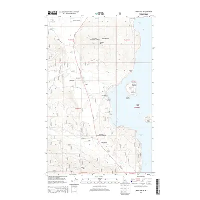
 1996 Priest Lake SW1999 Print · USGSThe western shore of Priest Lake in the mid-1990s shows a landscape balancing timber history and growing recreation. Trace the community at Vans Corner, explore the 1936 Spruce Plantation, or locate landmarks like Indian Rock and the Priest Lake School.
 - 2011 Map of Priest Lake SW, 2011 Print
 2011 Priest Lake SW2011 Print · USGSCovers Lamb Creek, including Bonner County, United States, and other nearby areas
 - 2013 Map of Priest Lake SW, 2013 Print
 2013 Priest Lake SW2013 Print · USGSCovers Lamb Creek, including Bonner County, United States, and other nearby areas
 - 2017 Map of Priest Lake SW, 2017 Print
 2017 Priest Lake SW2017 Print · USGSCovers Lamb Creek, including Bonner County, United States, and other nearby areas
 - 2020 Map of Priest Lake SW, 2020 Print
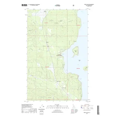 2020 Priest Lake SW2020 Print · USGSCovers Lamb Creek, including Bonner County, United States, and other nearby areas
 - 2024 Map of Priest Lake SW, 2024 Print
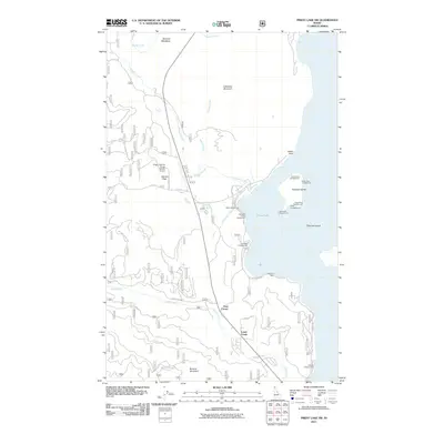
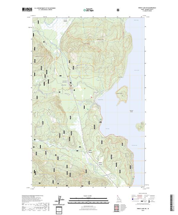 2024 Priest Lake SW2024 Print · USGSThe southwestern shores of Priest Lake are captured in this recent survey, showcasing the remote wilderness and lakefront settlements of Bonner County. Researchers can trace forest access roads and landmarks like Hanna Flats, Lamb Creek, and the Priest Lake USFS Airport.
End of results
Showing maps 1-12 of 12
Frequently asked questions
- What are the different types of historical maps available for Lamb Creek?
- What is the oldest map of Lamb Creek?
- Where can I purchase historical maps of Lamb Creek for my home or office?
- Where can I download high-res historical maps of Lamb Creek?
- Are there historical topographic maps available for Lamb Creek?
- Is there historical aerial imagery available for Lamb Creek?
- Where are historical maps of Lamb Creek sourced from?