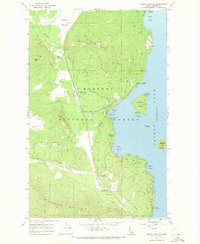
1967 Map of Priest Lake SW
USGS Topo · Published 1971About this map
Kaniksu National Forest defines the western shores of Priest Lake in this late-1960s survey, showing a landscape balanced between rugged wilderness and seasonal recreation. The settlement of Vans Corner serves as a local hub near the Priest Lake Sch and a local Golf Course, while the Priest Lake Airstrip and Priest Lake Marina provide access for visitors. Along the shoreline, historical depth is revealed at Indian Rock and the nearby Petroglyphs south of Reeder Bay.
Find a feature on this map
44 named features on this map. Tap any name to fly to it.
Don’t see what you’re looking for? This feature index may not catch every label — zoom into the map to look around manually.
Map Details
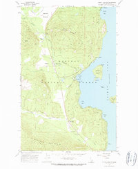
Editions of this 1967 Priest Lake SW Map
2 editions found
Other maps of this area

1901 · Sandpoint
USGS Topo · 1:125,000

1911 · Priest Lake
USGS Topo · 1:250,000

1911 · Sandpoint
USGS Topo · 1:125,000

1913 · Priest Lake
USGS Topo · 1:250,000

1934 · Metaline
USGS Topo · 1:125,000

1936 · Newport
USGS Topo · 1:96,000

1942 · Metaline
USGS Topo · 1:125,000

1942 · Newport
USGS Topo · 1:125,000

1958 · Sandpoint
USGS Topo · 1:250,000

1963 · Sandpoint
USGS Topo · 1:250,000