Old Maps of Sandpoint, Idaho for Academic Research
Study the evolution of Sandpoint with 14 high-resolution historic maps. Whether you're teaching, researching, or modeling changes in land use, these maps provide essential visual documentation of urban, environmental, and geographic change.
- Analyze long-term change: Track patterns in development, transportation, and natural features.
- Ideal for environmental or urban studies: Support academic projects with primary historical map data.
- Use in the classroom or lab: Educators and researchers rely on these maps to bring historical context to life.
These maps are a powerful tool for teaching, research, and visualizing how Sandpoint has changed over the decades.
Sandpoint, ID maps
(14)- 1901 Map of Sandpoint
 1901 Sandpoint1901 Print · USGSNorthern Idaho in the late nineteenth century was a frontier of timber and rail defined by the massive waters of Pend Oreille Lake. Genealogists and historians can trace early settlements and river crossings like Seneaquoteen, Cocolalla, and the Hamill Ferry.3 unique versions available
 - 1911 Map of Priest Lake, 1954 Print
 1911 Priest Lake1954 Print · USGSThe Idaho Panhandle during the early 1900s was a landscape of deep lakes and high-altitude mining operations connected by new rail lines. Genealogists and historians can trace pioneer settlements like Port Hill and Coolin, or locate remote industrial sites such as the Queen Mine and Mountain Chief Mine.
 - 1911 Map of Sandpoint, 1959 Print
 1911 Sandpoint1959 Print · USGSThe Idaho panhandle at the turn of the century shows a landscape of timber and transit centered on Sandpoint. You can trace early river crossings like Markham Ferry and the original rail routes of the Great Northern and Spokane International.2 unique versions available
 - 1913 Map of Priest Lake
 1913 Priest Lake1913 Print · USGSThe Idaho Panhandle was a rugged network of rail sidings and mining camps in the years before the Great War. Genealogists and historians can trace old homesteads and depots from Sandpoint up to the Continental Mine and the remote border crossing at Addie.3 unique versions available
 - 1958 Map of Sandpoint, 1966 Print
 1958 Sandpoint1966 Print · USGSThe Idaho Panhandle and Northeast Washington are shown here in the late fifties, when timber and hydroelectric power drove the local economy. Trace family roots in rail-side towns like Cusick or Metaline Falls, and locate landmarks like the Albeni Falls Dam or Falls Ranger Station.2 unique versions available
 - 1963 Map of Sandpoint
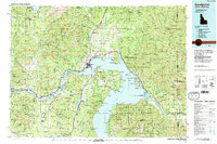
 1963 Sandpoint1963 Print · USGSNorthern Idaho and eastern Washington are shown in the early sixties as a high-country network of timber, mining, and rail. Genealogists and historians can trace the Great Northern line through Metaline Falls, Bonners Ferry, and past the Finch Mine.
 - 1968 Map of Sandpoint, 1971 Print
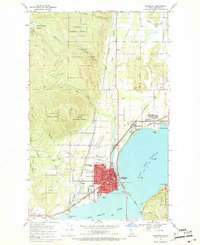 1968 Sandpoint1971 Print · USGSNear the northern shores of Lake Pend Oreille in the late sixties, the rail and river economy of this Idaho region is captured in high detail. Genealogists and local historians can trace the town layouts of Sandpoint, Kootenai, and Dover, or locate landmarks like Pinecrest Cem and Lincoln Sch.2 unique versions available
 - 1984 Map of Sandpoint
 1984 Sandpoint1984 Print · USGSThe Idaho Panhandle in the early 1980s shows a landscape of deep lakes and working forests centered on the rail hub of Sandpoint. Researchers can trace the legacy of regional industry through the Spokane International rail lines and mining sites like the Gold Coin Mine and Sulphide Mine.2 unique versions available
 - 1996 Map of Sandpoint, 1999 Print
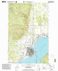 1996 Sandpoint1999 Print · USGSSandpoint and the shores of Lake Pend Oreille are captured in the mid-nineties as the region expanded. Genealogists and local historians can trace the town's growth through its grid of schools, churches, and civic sites like Lakeview Cemetery and the Memorial Park Historical Museum.
 - 2011 Map of Sandpoint, 2011 Print
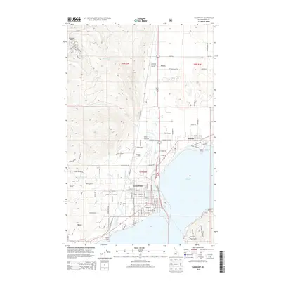
 2011 Sandpoint2011 Print · USGSCovers Sandpoint, including Ponderay, Dover, and other nearby areas
 - 2013 Map of Sandpoint, 2013 Print
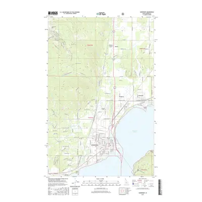
 2013 Sandpoint2013 Print · USGSCovers Sandpoint, including Ponderay, Dover, and other nearby areas
 - 2017 Map of Sandpoint, 2017 Print
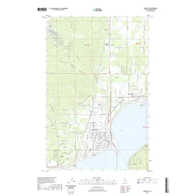
 2017 Sandpoint2017 Print · USGSCovers Sandpoint, including Ponderay, Dover, and other nearby areas
 - 2020 Map of Sandpoint, 2020 Print
 2020 Sandpoint2020 Print · USGSCovers Sandpoint, including Ponderay, Dover, and other nearby areas
 - 2024 Map of Sandpoint, 2024 Print
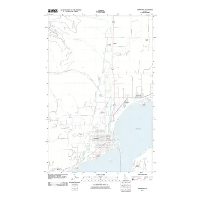
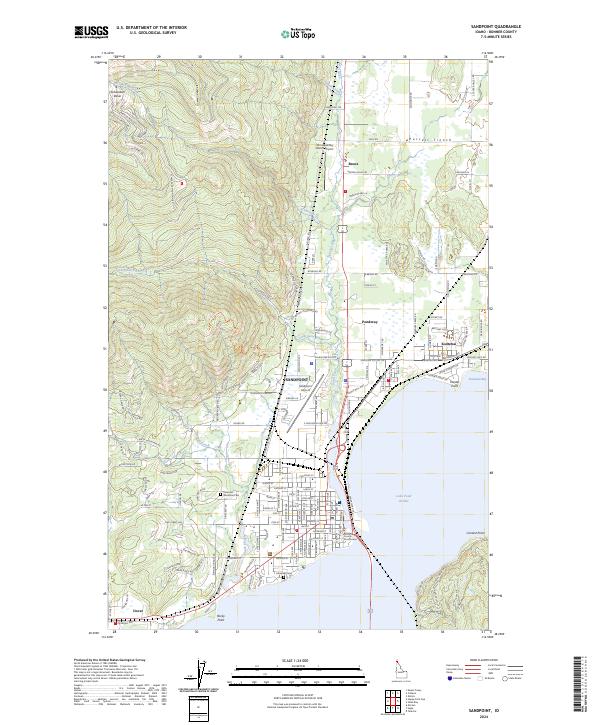 2024 Sandpoint2024 Print · USGSThe northern shores of Lake Pend Oreille come into sharp focus in this recent Idaho survey. Genealogists and local historians can trace the street grids of Sandpoint and Ponderay, locating landmarks from the Bonner County Courthouse to Lakeview Cem.
End of results
Showing maps 1-14 of 14
Top cities near Sandpoint
Top neighborhoods of Sandpoint
Frequently asked questions
- What are the different types of historical maps available for Sandpoint?
- What is the oldest map of Sandpoint?
- Where can I purchase historical maps of Sandpoint for my home or office?
- Where can I download high-res historical maps of Sandpoint?
- Are there historical topographic maps available for Sandpoint?
- Is there historical aerial imagery available for Sandpoint?
- Where are historical maps of Sandpoint sourced from?