Old Maps of Arco, Idaho for Metal Detecting
Plan your next treasure hunt with 15 historic maps of Arco. Find old homesites, ghost towns, trails, and gathering spots that may be lost to time — perfect for identifying promising metal detecting locations.
- Locate forgotten sites: Uncover places like long-lost settlements, abandoned rail lines, or gathering spots.
- Plan better hunts: Use map overlays combined with LiDAR or satellite views to narrow in on historically rich areas.
- Made for detectorists: Thousands of hobbyists use these maps to discover relics, coins, and hidden history.
Use these historic maps to boost your research and find new opportunities beneath the surface of Arco.
Arco, ID maps
(15)- 1955 Map of Idaho Falls, 1963 Print
 1955 Idaho Falls1963 Print · USGSThe Snake River Plain and its surrounding volcanic peaks are captured in the late fifties, showing the region's unique mix of nuclear research and high-desert ranching. Trace the industrial footprint of the National Reactor Testing Station or find old mining sites like Empire Mine.5 unique versions available
 - 1958 Map of Idaho Falls
 1958 Idaho Falls1958 Print · USGSEastern Idaho in the late fifties showcases the rapid expansion of agricultural and scientific outposts across its volcanic plains. Researchers can locate remote sites like Atomic City, mineral interests at White Knob Mine, and the cultural grounds of St Marys Mission.2 unique versions available
 - 1972 Map of Arco North, 1976 Print
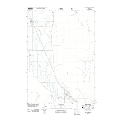
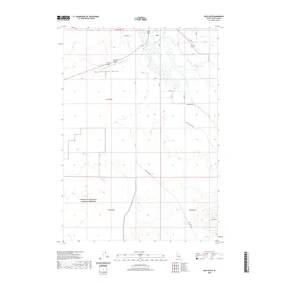
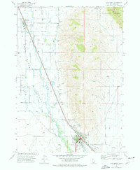 1972 Arco North1976 Print · USGSButte County ranching and irrigation are in focus during the early seventies as the desert valley meets the forest edge. Local historians can trace the Union Pacific rail corridor and find landmarks like the Butte Co High Sch, Hillcrest Cem, and the Natural Arch within the Challis National Forest.
 - 1972 Map of Arco South, 1976 Print
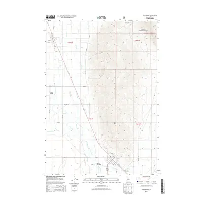
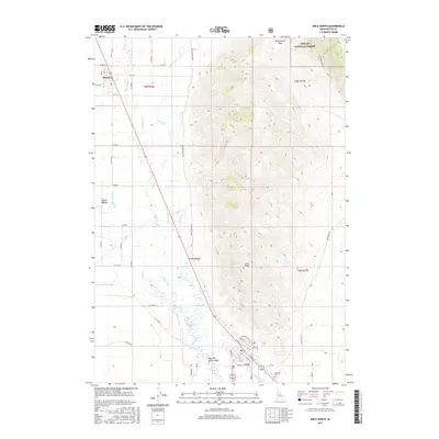
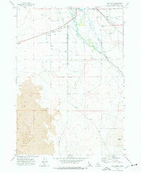 1972 Arco South1976 Print · USGSThe high desert landscape of Idaho's Butte County was a study in water and volcanic rock in the early seventies. Trace the Union Pacific rail corridor near Arco or follow irrigation landmarks like the Big Lost River and the Siphon.
 - 1988 Map of Arco, 1989 Print
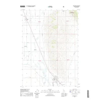
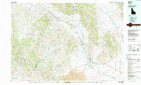 1988 Arco1989 Print · USGSThe Big Lost River Valley thrived as a high-altitude ranching and agricultural hub in the late eighties. Researchers can trace the Union Pacific line to Arco or locate smaller rural communities like Houston, Moore, and Butte City.
 - 2010 Map of Arco South, 2010 Print
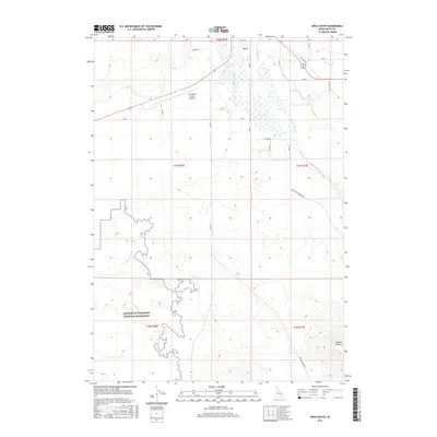
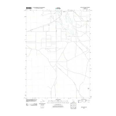 2010 Arco South2010 Print · USGSCovers Arco, including Butte County, United States, and other nearby areas
 - 2011 Map of Arco North, 2011 Print
 2011 Arco North2011 Print · USGSCovers Arco, including Moore, Butte County, and other nearby areas
 - 2013 Map of Arco North, 2013 Print
 2013 Arco North2013 Print · USGSCovers Arco, including Moore, Butte County, and other nearby areas
 - 2013 Map of Arco South, 2013 Print
 2013 Arco South2013 Print · USGSCovers Arco, including Butte County, United States, and other nearby areas
 - 2017 Map of Arco South, 2017 Print
 2017 Arco South2017 Print · USGSCovers Arco, including Butte County, United States, and other nearby areas
 - 2017 Map of Arco North, 2017 Print
 2017 Arco North2017 Print · USGSCovers Arco, including Moore, Butte County, and other nearby areas
 - 2020 Map of Arco South, 2020 Print
 2020 Arco South2020 Print · USGSCovers Arco, including Butte County, United States, and other nearby areas
 - 2020 Map of Arco North, 2020 Print
 2020 Arco North2020 Print · USGSCovers Arco, including Moore, Butte County, and other nearby areas
 - 2023 Map of Arco South, 2023 Print
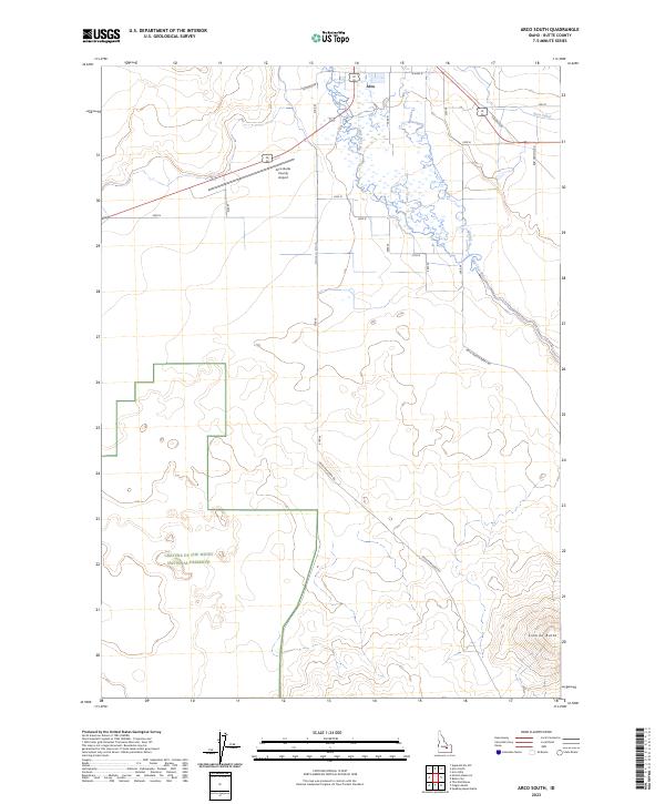 2023 Arco South2023 Print · USGSButte County in the early twenty-first century reveals a landscape where volcanic preserves meet valley ranching. Trace the irrigation network of the Big Lost River and find landmarks like Sixmile Butte and the Arco-Butte County Airport.
 - 2023 Map of Arco North, 2023 Print
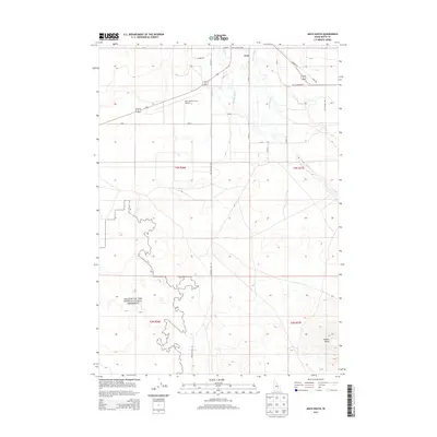
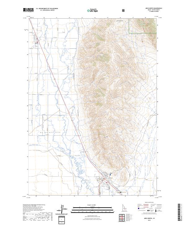 2023 Arco North2023 Print · USGSButte County's high-desert valley comes into focus in this recent survey, capturing the agricultural and civic life of the eastern Big Lost River Valley. Researchers can trace irrigation networks like the Arco Canal and locate local landmarks such as Hillcrest Cem and the Butte County Courthouse.
End of results
Showing maps 1-15 of 15
Top cities near Arco
Frequently asked questions
- What are the different types of historical maps available for Arco?
- What is the oldest map of Arco?
- Where can I purchase historical maps of Arco for my home or office?
- Where can I download high-res historical maps of Arco?
- Are there historical topographic maps available for Arco?
- Is there historical aerial imagery available for Arco?
- Where are historical maps of Arco sourced from?