Old Maps of Fairfield, Idaho for Metal Detecting
Plan your next treasure hunt with 10 historic maps of Fairfield. Find old homesites, ghost towns, trails, and gathering spots that may be lost to time — perfect for identifying promising metal detecting locations.
- Locate forgotten sites: Uncover places like long-lost settlements, abandoned rail lines, or gathering spots.
- Plan better hunts: Use map overlays combined with LiDAR or satellite views to narrow in on historically rich areas.
- Made for detectorists: Thousands of hobbyists use these maps to discover relics, coins, and hidden history.
Use these historic maps to boost your research and find new opportunities beneath the surface of Fairfield.
Fairfield, ID maps
(10)- 1955 Map of Hailey, 1968 Print
 1955 Hailey1968 Print · USGSCentral Idaho in the mid-fifties reveals a landscape transitioning from deep-rooted silver mining to a burgeoning outdoor economy. Researchers can trace the legacy of the Union Pacific line, the remote Triumph Mine, and original airfield layouts at Mountain Home Air Force Base.4 unique versions available
 - 1957 Map of Fairfield, 1958 Print
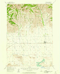 1957 Fairfield1958 Print · USGSCamas County life in the late 1950s centered on the ranching and rail infrastructure surrounding Fairfield. Genealogists and historians can trace the foundations of local settlements through Punkin Corner, Corral, and the Richard Allen Mine tucked into the mountain gulches.2 unique versions available
 - 1959 Map of Hailey
 1959 Hailey1959 Print · USGSThe Sawtooth range and high desert plains of Southern Idaho are captured here during a period of mining and military growth. Genealogists and historians can locate mining sites like Triumph Mine, early settlements such as Idaho City, and the Mountain Home Air Force Base.2 unique versions available
 - 1962 Map of Hailey
 1962 Hailey1962 Print · USGSCentral Idaho in the early sixties showcases a landscape of high-altitude ranching and mining at the foot of the Sawtooth Mountains. Genealogists and historians can trace the rail-and-river economy through the Union Pacific Railroad corridor and explore old mining sites like the Triumph Mine or Silver Star Queens Mine.
 - 1986 Map of Fairfield
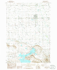 1986 Fairfield1986 Print · USGSCamas County ranching and water infrastructure are well-documented in the mid-1980s as Fairfield anchors the surrounding plains. Researchers can trace the Abandoned Railroad Grade and locate features like Soldier or the Mormon Reservoir.
 - 2010 Map of Fairfield, 2010 Print
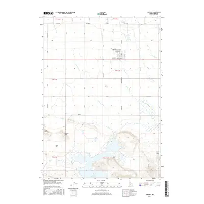
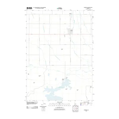 2010 Fairfield2010 Print · USGSCovers Fairfield, including Camas County, United States, and other nearby areas
 - 2013 Map of Fairfield, 2013 Print
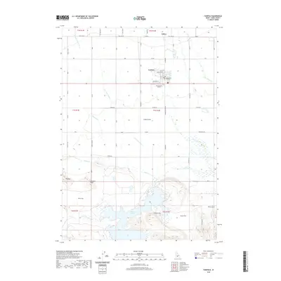
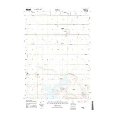 2013 Fairfield2013 Print · USGSCovers Fairfield, including Camas County, United States, and other nearby areas
 - 2017 Map of Fairfield, 2017 Print
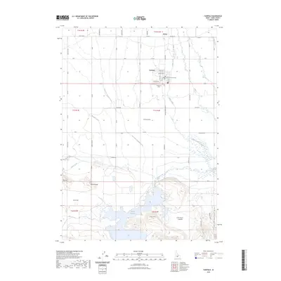
 2017 Fairfield2017 Print · USGSCovers Fairfield, including Camas County, United States, and other nearby areas
 - 2020 Map of Fairfield, 2020 Print
 2020 Fairfield2020 Print · USGSCovers Fairfield, including Camas County, United States, and other nearby areas
 - 2023 Map of Fairfield, 2023 Print
 2023 Fairfield2023 Print · USGSCovers Fairfield, including Camas County, United States, and other nearby areas2 unique versions available
End of results
Showing maps 1-10 of 10
Frequently asked questions
- What are the different types of historical maps available for Fairfield?
- What is the oldest map of Fairfield?
- Where can I purchase historical maps of Fairfield for my home or office?
- Where can I download high-res historical maps of Fairfield?
- Are there historical topographic maps available for Fairfield?
- Is there historical aerial imagery available for Fairfield?
- Where are historical maps of Fairfield sourced from?