Old Maps of Bancroft, Idaho
Explore 18 old maps of Bancroft, spanning from 1948 to today. These high-resolution historic maps reveal how streets, neighborhoods, landmarks, and natural features evolved over time — perfect for genealogy, metal detecting, research, and local history exploration.
What you can do with these maps:
- See how Bancroft changed over time: Compare historical maps to modern-day views to trace roads, homesites, rail lines & more.
- View detailed metadata: Each map includes creators, publishers, year, scale, and archive source.
- Overlay maps with satellite & LiDAR: Visualize the past alongside modern tools to explore terrain & human change.
- Trusted historical sources: Maps sourced from the USGS, Library of Congress, and other archives.
- Access maps your way: View online, download high-res files, or order prints for personal or research use.
Start exploring old maps of Bancroft to uncover forgotten places, hidden landmarks, and the deep history beneath your feet.
Bancroft, ID maps
(18)- 1948 Map of Bancroft, 1963 Print
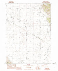
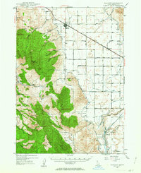 1948 Bancroft1963 Print · USGSBancroft and the Gentile Valley are captured here during the post-war era of hydroelectric and agricultural expansion. Local historians can trace the irrigation canals and power plants along the Bear River, alongside vanished landmarks like the Telluride Sch and Leadville Mine.2 unique versions available
 - 1949 Map of Bancroft
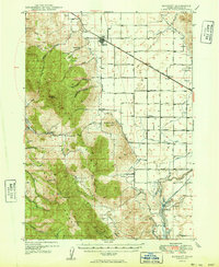 1949 Bancroft1949 Print · USGSBancroft and the Gentile Valley are captured here in the late 1940s, showing a landscape defined by the Union Pacific rail line and early hydroelectric power. Researchers can locate the Leadville Mine, the Telluride School, and numerous family-named landmarks like Kackley Spr and Barfuss Road.
 - 1955 Map of Preston, 1968 Print
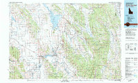
 1955 Preston1968 Print · USGSSoutheast Idaho and western Wyoming are shown in detail during the mid-fifties, from the high Bear River Range to the Green River Basin. Genealogists and collectors can trace the Union Pacific RR through historic towns like Preston, Montpelier, and Afton.3 unique versions available
 - 1958 Map of Preston
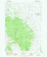
 1958 Preston1958 Print · USGSThe high valleys of the Idaho and Wyoming borderlands are captured here in the late fifties, showcasing a landscape of mountain ranching and phosphate mining. Genealogists and historians can locate early settlements like Chesterfield and Bedford or trace the Union Pacific rail lines serving Cokeville.2 unique versions available
 - 1962 Map of Preston
 1962 Preston1962 Print · USGSSoutheast Idaho and the Wyoming borderlands are captured here in the early sixties, a time of thriving agricultural valleys and mountain ranching. Researchers can trace the Union Pacific rail lines and find legacy settlements like Montpelier, Afton, and Preston.
 - 1982 Map of Soda Springs
 1982 Soda Springs1982 Print · USGSSoutheast Idaho and the Wyoming borderlands come alive in the early eighties as a landscape of mountain ranges and industrial valleys. Genealogists and historians can locate remote family plots like Lund Cem or trace the early paths through Fivemile Meadows and the Fort Hall Indian Reservation.2 unique versions available
 - 1982 Map of Bancroft, 1983 Print
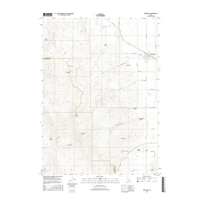
 1982 Bancroft1983 Print · USGSBancroft and Gem Valley are captured in the early eighties as centers of Idaho's rail and agricultural life. Researchers can trace the Union Pacific corridor, locate rural markers like School House Spring, and find old homestead sites in Lundgren Canyon.
 - 1982 Map of Talmage, 1983 Print
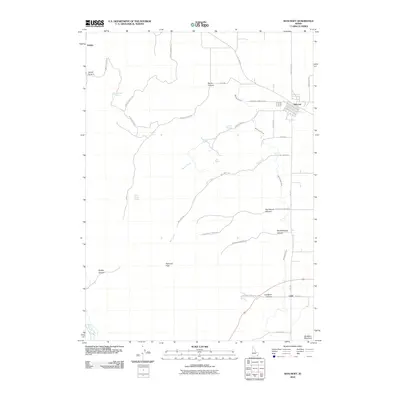
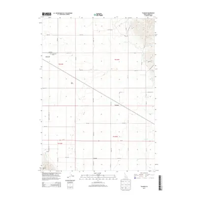
 1982 Talmage1983 Print · USGSCaribou County agriculture and transport are captured here in the early eighties as the rail-side settlements of Gem Valley thrived. Genealogists and historians can trace family-named routes like Hatch Road and find landmarks such as the Bancroft Airport and Quallman Grain Tanks.
 - 2010 Map of Bancroft, 2010 Print
 2010 Bancroft2010 Print · USGSCovers Bancroft, including Bannock County, Caribou County, and other nearby areas
 - 2010 Map of Talmage, 2010 Print
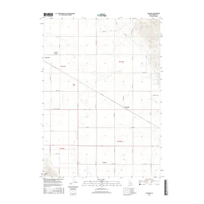
 2010 Talmage2010 Print · USGSCovers Bancroft, including Caribou County, United States, and other nearby areas
 - 2013 Map of Bancroft, 2013 Print
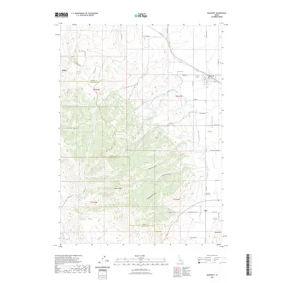
 2013 Bancroft2013 Print · USGSCovers Bancroft, including Bannock County, Caribou County, and other nearby areas
 - 2013 Map of Talmage, 2013 Print
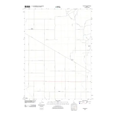
 2013 Talmage2013 Print · USGSCovers Bancroft, including Caribou County, United States, and other nearby areas
 - 2017 Map of Talmage, 2017 Print
 2017 Talmage2017 Print · USGSCovers Bancroft, including Caribou County, United States, and other nearby areas
 - 2017 Map of Bancroft, 2017 Print
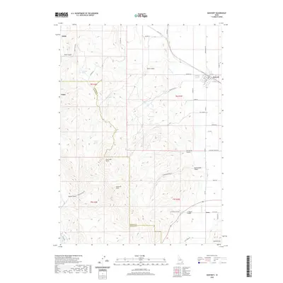
 2017 Bancroft2017 Print · USGSCovers Bancroft, including Bannock County, Caribou County, and other nearby areas
 - 2020 Map of Talmage, 2020 Print
 2020 Talmage2020 Print · USGSCovers Bancroft, including Caribou County, United States, and other nearby areas
 - 2020 Map of Bancroft, 2020 Print
 2020 Bancroft2020 Print · USGSCovers Bancroft, including Bannock County, Caribou County, and other nearby areas
 - 2023 Map of Bancroft, 2023 Print
 2023 Bancroft2023 Print · USGSCovers Bancroft, including Bannock County, Caribou County, and other nearby areas2 unique versions available
 - 2023 Map of Talmage, 2023 Print
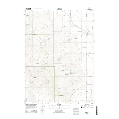
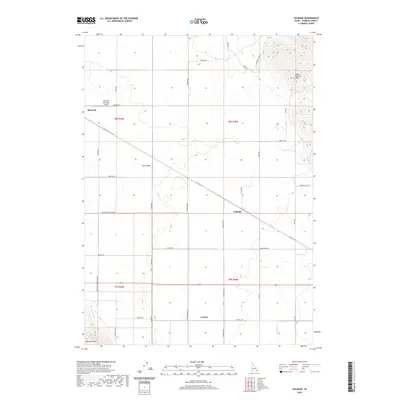
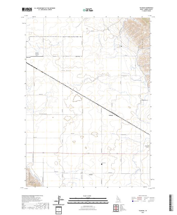 2023 Talmage2023 Print · USGSCaribou County, Idaho, is documented here in its contemporary rural form, centered on the agricultural expanses of Gem Valley. Researchers can trace old family roots through the grids of Bancroft and Talmage, or locate final resting places at Pioneer Cem and Central Cem.
End of results
Showing maps 1-18 of 18
Top cities near Bancroft
Frequently asked questions
- What are the different types of historical maps available for Bancroft?
- What is the oldest map of Bancroft?
- Where can I purchase historical maps of Bancroft for my home or office?
- Where can I download high-res historical maps of Bancroft?
- Are there historical topographic maps available for Bancroft?
- Is there historical aerial imagery available for Bancroft?
- Where are historical maps of Bancroft sourced from?