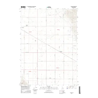
2017 Map of Talmage
USGS Topo · Published 2017About this map
Gem Valley serves as the topographical centerpiece of this eastern Idaho landscape, where the agricultural flats of Bancroft and Talmage meet the rising slopes of Buckskin Mtn. The 2017 survey reveals a deeply established rural grid defined by long-standing family and access roads, including Cemetery Rd and Red House Canyon Rd. Water management is central to the area's utility, evidenced by the NW Br Canal and the natural course of Tenmile Cr in the northeast.
Find a feature on this map
37 named features on this map. Tap any name to fly to it.
Don’t see what you’re looking for? This feature index may not catch every label — zoom into the map to look around manually.
Map Details
Editions of this 2017 Talmage Map
This is the sole edition of this map. No revisions or reprints were ever made.
Other maps of this area
1914 · Henry
USGS Topo · 1:48,000
1916 · Henry
USGS Topo · 1:62,500
1917 · Portneuf
USGS Topo · 1:62,500
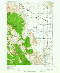
1948 · Bancroft
USGS Topo · 1:62,500
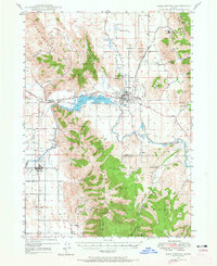
1948 · Soda Springs
USGS Topo · 1:62,500
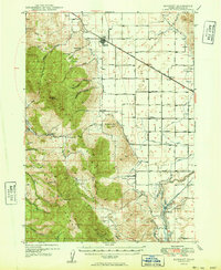
1949 · Bancroft
USGS Topo · 1:62,500
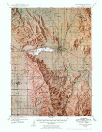
1949 · Soda Springs
USGS Topo · 1:62,500
1955 · Preston
USGS Topo · 1:250,000
1958 · Preston
USGS Topo · 1:250,000
1962 · Preston
USGS Topo · 1:250,000