1914 Map of Henry
USGS Topo · Published 1914About this map
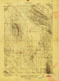
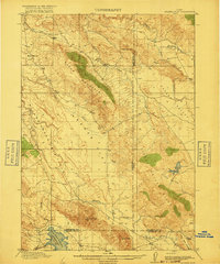
Volcanic landforms and ranching life define this high-altitude landscape in Bannock County as surveyed between 1910 and 1914. The terrain is marked by distinctive geological features such as China Hat, Crater Mtn, and Broken Crater, indicating a region shaped by ancient eruptive activity. Central to the map is the Blackfoot River Reservoir, shown here as it appeared in August 1914 with its water levels and shoreline carefully documented. The human geography of the era is captured through established homesteads like Perkins Ranch, Clements Ranch, and Doutre Ranch, while the presence of a US Gaging Sta and the Soda Springs Road highlights the early infrastructure supporting agriculture and transit. Water sources like Chubb Springs and Warm Spring provided critical resources for the livestock operations that dotted this part of southeastern Idaho.
Find a feature on this map
25 named features on this map. Tap any name to fly to it.
Don’t see what you’re looking for? This feature index may not catch every label — zoom into the map to look around manually.
Map Details
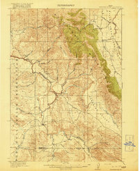
Editions of this 1914 Henry Map
2 editions found
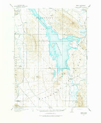
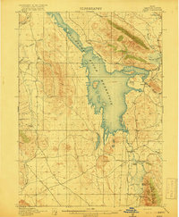
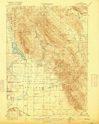
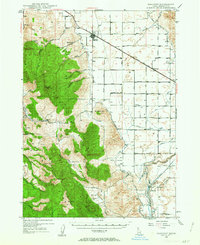
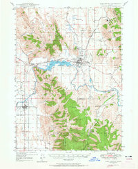
Other maps of this area

1911 · Slug Creek
USGS Topo · 1:62,500

1915 · Lanes Creek
USGS Topo · 1:62,500
1916 · Henry
USGS Topo · 1:62,500
1917 · Portneuf
USGS Topo · 1:62,500
1917 · Cranes Flat
USGS Topo · 1:62,500
1918 · Paradise Valley
USGS Topo · 1:62,500

1932 · Irwin
USGS Topo · 1:96,000

1935 · Irwin
USGS Topo · 1:125,000
1948 · Bancroft
USGS Topo · 1:62,500
1948 · Soda Springs
USGS Topo · 1:62,500