
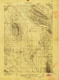
1911 Map of Slug Creek
USGS Topo · Published 1958About this map
Bear River winds through the southwestern corner of this Idaho survey, providing a vital corridor for the Oregon Short Line Railroad and early regional transit. This area, surveyed during the first decade of the twentieth century, reveals a landscape defined by high ridges like Dry Ridge and the Caribou Range, where water management was essential for settlement. The presence of Cranes Reservoir and a smaller Reservoir indicates early efforts to harness runoff in the arid basins.
Find a feature on this map
39 named features on this map. Tap any name to fly to it.
Don’t see what you’re looking for? This feature index may not catch every label — zoom into the map to look around manually.
Map Details
Editions of this 1911 Slug Creek Map
This is the sole edition of this map. No revisions or reprints were ever made.
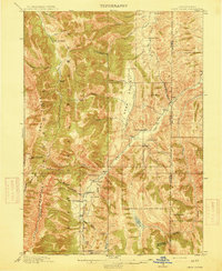
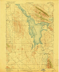
Other maps of this area

1909 · Montpelier
USGS Topo · 1:125,000

1911 · Montpelier
USGS Topo · 1:125,000
1914 · Henry
USGS Topo · 1:48,000

1915 · Preston
USGS Topo · 1:96,000

1915 · Freedom
USGS Topo · 1:62,500
1915 · Crow Creek
USGS Topo · 1:62,500

1915 · Lanes Creek
USGS Topo · 1:62,500
1916 · Henry
USGS Topo · 1:62,500

1918 · Preston
USGS Topo · 1:125,000
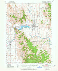
1948 · Soda Springs
USGS Topo · 1:62,500