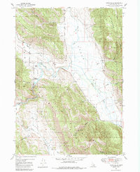
1951 Map of Upper Valley
USGS Topo · Published 1984About this map
The Blackfoot River carves through the heart of this Caribou County landscape, winding through Upper Valley where it is joined by Lanes Creek and Diamond Creek. This 1949 survey period captures the area's transition from open range to managed forest within the Caribou National Forest, punctuated by isolated outposts like the Stoeking Ranch and the Trail Guard Sta. The terrain is dominated by prominent north-south elevations including Rasmussen Ridge and the Webster Range, which frame the agricultural and grazing lands below.
Find a feature on this map
80 named features on this map. Tap any name to fly to it.
Don’t see what you’re looking for? This feature index may not catch every label — zoom into the map to look around manually.
Map Details
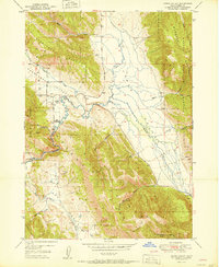
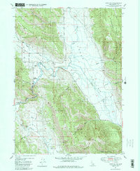
Editions of this 1951 Upper Valley Map
4 editions found
Other maps of this area

1911 · Slug Creek
USGS Topo · 1:62,500

1915 · Freedom
USGS Topo · 1:62,500

1915 · Crow Creek
USGS Topo · 1:62,500

1915 · Lanes Creek
USGS Topo · 1:62,500

1949 · Johnson Creek
USGS Topo · 1:24,000

1949 · Stewart Flat
USGS Topo · 1:24,000

1949 · Dry Valley
USGS Topo · 1:24,000

1949 · Lower Valley
USGS Topo · 1:24,000

1951 · Lower Valley
USGS Topo · 1:24,000
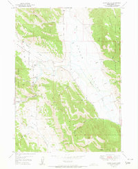
1951 · Upper Valley
USGS Topo · 1:24,000