
1949 Map of Dry Valley
USGS Topo · Published 1960About this map
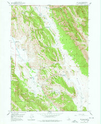
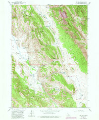
Caribou National Forest dominates this mid-century topography, where rugged ranching outposts are scattered across the high country of eastern Idaho. Small-scale agricultural operations including Stewart Ranch, Young Ranch, and Sweet Ranch define the human footprint in these valleys, often situated near vital water sources like Lonetree Spr or the banks of Slug Creek. The terrain is characterized by the long north-south axis of Schmid Ridge, which separates the drainages of Dry Valley Creek and Maybe Creek. Evidence of resource exploration is visible through several marked Prospect sites and Prospects located near the Dry Valley Basin. The presence of the Dry Valley Guard Sta underscores the managed nature of this wilderness during the late 1940s, while labels for Caldwell and Petterson Ranch provide specific points of interest for those tracing family history in the region.
Find a feature on this map
35 named features on this map. Tap any name to fly to it.
Don’t see what you’re looking for? This feature index may not catch every label — zoom into the map to look around manually.
Map Details
Editions of this 1949 Dry Valley Map
3 editions found
Other maps of this area

1911 · Slug Creek
USGS Topo · 1:62,500

1915 · Freedom
USGS Topo · 1:62,500

1915 · Crow Creek
USGS Topo · 1:62,500

1915 · Lanes Creek
USGS Topo · 1:62,500

1949 · Johnson Creek
USGS Topo · 1:24,000

1949 · Stewart Flat
USGS Topo · 1:24,000

1949 · Snowdrift Mountain
USGS Topo · 1:24,000

1949 · Lower Valley
USGS Topo · 1:24,000

1951 · Lower Valley
USGS Topo · 1:24,000
1951 · Upper Valley
USGS Topo · 1:24,000