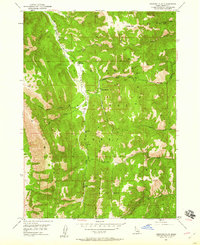
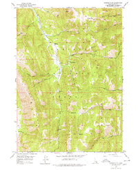
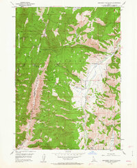
1949 Map of Stewart Flat
USGS Topo · Published 1960About this map
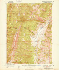
Caribou National Forest dominates this 1940s landscape, where remote outposts and early industrial sites are scattered among high ridges. The Johnson Guard Sta provides a central landmark on Stewart Flat, indicating the administrative presence of the Forest Service in this high-elevation terrain. To the south, the Smith Sawmill reflects the localized timber operations typical of the era, situated near the headwaters of the South Fork Timber Creek.
Find a feature on this map
28 named features on this map. Tap any name to fly to it.
Don’t see what you’re looking for? This feature index may not catch every label — zoom into the map to look around manually.
Map Details
Editions of this 1949 Stewart Flat Map
2 editions found
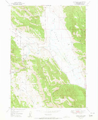
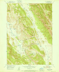
Other maps of this area

1911 · Slug Creek
USGS Topo · 1:62,500

1915 · Freedom
USGS Topo · 1:62,500
1915 · Crow Creek
USGS Topo · 1:62,500

1915 · Lanes Creek
USGS Topo · 1:62,500
1949 · Dry Valley
USGS Topo · 1:24,000
1949 · Snowdrift Mountain
USGS Topo · 1:24,000
1951 · Upper Valley
USGS Topo · 1:24,000
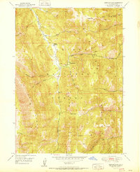
1951 · Stewart Flat
USGS Topo · 1:24,000
1951 · Dry Valley
USGS Topo · 1:24,000
1951 · Snowdrift Mountain
USGS Topo · 1:24,000