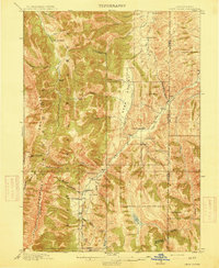
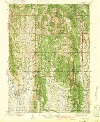
1915 Map of Crow Creek
USGS Topo · Published 1915About this map
The Caribou National Forest dominates this Idaho-Wyoming borderlands survey, revealing a landscape defined by high-altitude ranching and the early extractive industry. Before the modern expansion of infrastructure, the region relied on a network of isolated outposts such as Draney Ranch, Lowes Ranch, and Allemans Ranch, which were linked by the Road winding through Sage Valley. A notable industrial feature is the Old Salt Works, appearing twice along the creek drainages, indicating the historical importance of local mineral springs like Old Salt Spr to the frontier economy.
Find a feature on this map
50 named features on this map. Tap any name to fly to it.
Don’t see what you’re looking for? This feature index may not catch every label — zoom into the map to look around manually.
Map Details
Editions of this 1915 Crow Creek Map
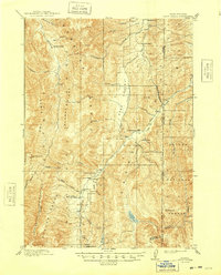
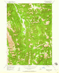
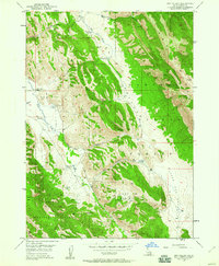
Other maps of this area

1909 · Montpelier
USGS Topo · 1:125,000

1911 · Montpelier
USGS Topo · 1:125,000

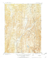
1911 · Slug Creek
USGS Topo · 1:62,500

1915 · Freedom
USGS Topo · 1:62,500

1915 · Lanes Creek
USGS Topo · 1:62,500

1921 · Afton
USGS Topo · 1:125,000
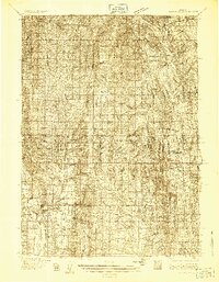
1936 · Cokeville
USGS Topo · 1:96,000
1942 · Cokeville
USGS Topo · 1:125,000
1949 · Stewart Flat
USGS Topo · 1:24,000
1949 · Dry Valley
USGS Topo · 1:24,000