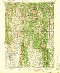
1915 Map of Crow Creek
USGS Topo · Published 1948About this map
Caribou National Forest dominates this high-altitude border region between Idaho and Wyoming as surveyed just before World War I. The landscape is defined by the Webster Range and the Preuss Range, where resource extraction and ranching established the early footprint of settlement. Evidence of early industry is found at the Old Salt Works near Crow Creek, while the presence of the Ranger Station and the Halfway House indicates a managed wilderness and established travel routes.
Find a feature on this map
64 named features on this map. Tap any name to fly to it.
Don’t see what you’re looking for? This feature index may not catch every label — zoom into the map to look around manually.
Map Details
Editions of this 1915 Crow Creek Map
Other maps of this area

1909 · Montpelier
USGS Topo · 1:125,000

1911 · Montpelier
USGS Topo · 1:125,000

1911 · Slug Creek
USGS Topo · 1:62,500

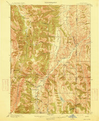
1915 · Freedom
USGS Topo · 1:62,500
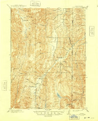
1915 · Crow Creek
USGS Topo · 1:62,500

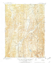
1915 · Lanes Creek
USGS Topo · 1:62,500

1921 · Afton
USGS Topo · 1:125,000
1936 · Cokeville
USGS Topo · 1:96,000
1942 · Cokeville
USGS Topo · 1:125,000
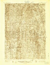
1949 · Stewart Flat
USGS Topo · 1:24,000