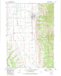
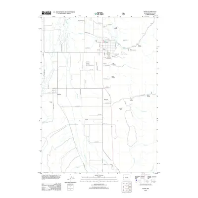
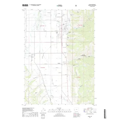
1921 Map of Afton
USGS Topo · Published 1921About this map
The Salt River Range dominates this 1921 survey, creating a formidable vertical barrier between the agricultural Star Valley to the west and the high-elevation backcountry of the Wyoming National Forest to the east. Along the western edge, a string of early settlements including Afton, Thayne, and Auburn cluster near the Salt River, supported by rural institutions like the Muddy String School and Forest Dell School. This corridor represents the primary human footprint in a landscape otherwise defined by high peaks and remote watercourses.
Find a feature on this map
83 named features on this map. Tap any name to fly to it.
Don’t see what you’re looking for? This feature index may not catch every label — zoom into the map to look around manually.
Map Details
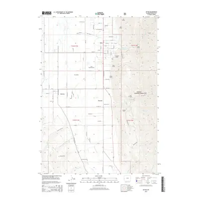
Editions of this 1921 Afton Map
This is the sole edition of this map. No revisions or reprints were ever made.
Historical Maps of Afton Through Time
7 maps found