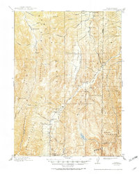
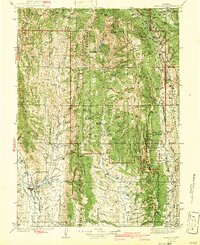
1915 Map of Crow Creek
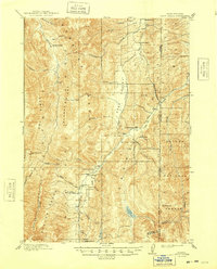
USGS Topo · Published 1948About this map
The Old Salt Works stands as a primary industrial marker in this high-altitude landscape along the Idaho-Wyoming border. Surveyed shortly before the Great War, the map documents a network of family-held livestock operations and waypoints, including Draney Ranch, Allemans Ranch, and the Halfway House located at the southern edge of the quadrangle. The terrain is defined by the massive ridges of the Webster Range and the Preuss Range, which hem in Sage Valley and the course of Crow Creek. Much of the eastern and southern territory is held within the Caribou National Forest, featuring landmarks such as The Pinnacle and Buck Mtn. The reliance on natural mineral resources is evident not only at the salt works but also at the Old Salt Spr near the confluence of Worm Creek.
Find a feature on this map
51 named features on this map. Tap any name to fly to it.
Don’t see what you’re looking for? This feature index may not catch every label — zoom into the map to look around manually.
Map Details
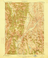
Editions of this 1915 Crow Creek Map
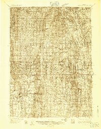
Other maps of this area

1909 · Montpelier
USGS Topo · 1:125,000

1911 · Montpelier
USGS Topo · 1:125,000

1911 · Slug Creek
USGS Topo · 1:62,500

1915 · Freedom
USGS Topo · 1:62,500
1915 · Crow Creek
USGS Topo · 1:62,500

1915 · Lanes Creek
USGS Topo · 1:62,500

1921 · Afton
USGS Topo · 1:125,000
1936 · Cokeville
USGS Topo · 1:96,000
1942 · Cokeville
USGS Topo · 1:125,000
1949 · Stewart Flat
USGS Topo · 1:24,000