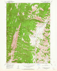
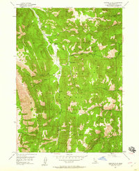
1949 Map of Snowdrift Mountain
USGS Topo · Published 1963About this map
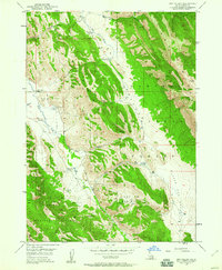
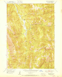
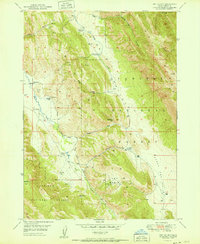
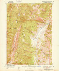
Snowdrift Mountain and the high ridges of the Webster Range dominate this 1940s landscape on the border of Caribou and Bear Lake counties. The terrain is a complex hydrologic divide, where the Great Basin Divide separates the Columbia River and Great Basin watersheds. Within the Caribou National Forest, the map reveals a remote network of ranching and forestry outposts. Small-scale human presence is marked by isolated landmarks such as Allemans Ranch, Nate Ranch, and the Trapper Cabin along the South Fork Deer Creek. These locations, along with the Clear Creek Guard Sta, highlight the era's reliance on localized mountain stations for land management and seasonal grazing. The drainage patterns of Crow Creek and Wells Canyon provide the primary routes through the steep topography of the Gannett Hills and Freeman Ridge.
Find a feature on this map
38 named features on this map. Tap any name to fly to it.
Don’t see what you’re looking for? This feature index may not catch every label — zoom into the map to look around manually.
Map Details
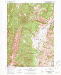
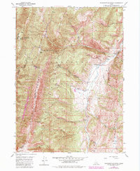
Editions of this 1949 Snowdrift Mountain Map
3 editions found
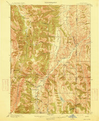
Other maps of this area

1909 · Montpelier
USGS Topo · 1:125,000

1911 · Montpelier
USGS Topo · 1:125,000

1911 · Slug Creek
USGS Topo · 1:62,500
1915 · Crow Creek
USGS Topo · 1:62,500
1949 · Stewart Flat
USGS Topo · 1:24,000
1949 · Dry Valley
USGS Topo · 1:24,000
1951 · Stewart Flat
USGS Topo · 1:24,000
1951 · Dry Valley
USGS Topo · 1:24,000
1951 · Snowdrift Mountain
USGS Topo · 1:24,000

1955 · Preston
USGS Topo · 1:250,000