
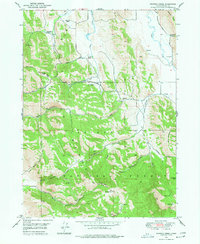
1949 Map of Johnson Creek
USGS Topo · Published 1952About this map
The Caribou National Forest dominates this Idaho landscape at the close of the 1940s, revealing a region defined by high-elevation ranching and extraction. Along the northern boundary, family-held operations like the Bennett Ranch and Jougelard Ranch sit near the G Portal (Conda Mine), signaling the area's mineral importance. The terrain is divided by the Great Columbia River Divide, which separates the complex drainage systems of Johnson Creek and Sulphur Creek.
Find a feature on this map
42 named features on this map. Tap any name to fly to it.
Don’t see what you’re looking for? This feature index may not catch every label — zoom into the map to look around manually.
Map Details
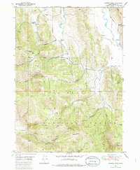
Editions of this 1949 Johnson Creek Map
3 editions found
Other maps of this area

1911 · Slug Creek
USGS Topo · 1:62,500

1914 · Henry
USGS Topo · 1:48,000

1915 · Lanes Creek
USGS Topo · 1:62,500

1916 · Henry
USGS Topo · 1:62,500

1948 · Soda Springs
USGS Topo · 1:62,500

1949 · Soda Springs
USGS Topo · 1:62,500

1949 · Dry Valley
USGS Topo · 1:24,000

1949 · Lower Valley
USGS Topo · 1:24,000

1951 · Lower Valley
USGS Topo · 1:24,000
1951 · Upper Valley
USGS Topo · 1:24,000