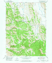
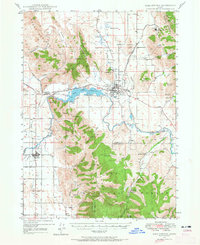
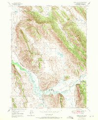
1949 Map of Johnson Creek
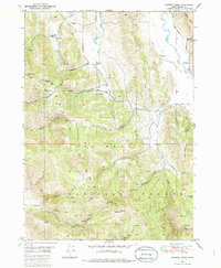
USGS Topo · Published 1977About this map
Caribou National Forest dominates the southern landscape of this mid-century survey, where the Great Columbia River Divide separates the watershed. The northern portion of the quadrangle is defined by a series of working family livestock operations, including Bennett Ranch, Jougelard Ranch, Finlayson Ranch, and Vent Ranch. This area reflects a traditional mountain ranching economy, with water resources like Slug Creek and Johnson Creek providing the necessary lifelines for these isolated homesteads.
Find a feature on this map
102 named features on this map. Tap any name to fly to it.
Don’t see what you’re looking for? This feature index may not catch every label — zoom into the map to look around manually.
Map Details
Editions of this 1949 Johnson Creek Map
3 editions found
Other maps of this area

1911 · Slug Creek
USGS Topo · 1:62,500
1914 · Henry
USGS Topo · 1:48,000

1915 · Lanes Creek
USGS Topo · 1:62,500
1916 · Henry
USGS Topo · 1:62,500
1948 · Soda Springs
USGS Topo · 1:62,500
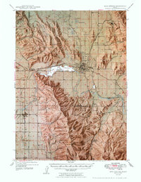
1949 · Soda Springs
USGS Topo · 1:62,500
1949 · Johnson Creek
USGS Topo · 1:24,000
1949 · Dry Valley
USGS Topo · 1:24,000
1949 · Lower Valley
USGS Topo · 1:24,000
1951 · Lower Valley
USGS Topo · 1:24,000