
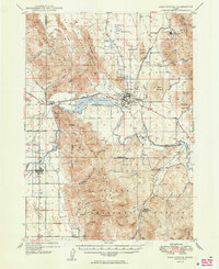
1949 Map of Soda Springs
USGS Topo · Published 1949About this map
The Oregon Short Line (Union Pacific) Railroad anchors this 1940s landscape, connecting the agricultural and industrial settlements of Soda Springs, Alexander, and Grace. The region's unique geology is evident through features like the Alexander Crater, the geothermal activity at Hooper Spr, and the Formation Cave. Industrial history is prominent, with the Conda Mine and the Idaho Sulphur Mine (Aband) appearing alongside infrastructure like the Last Chance Dam and its associated Flume.
Find a feature on this map
78 named features on this map. Tap any name to fly to it.
Don’t see what you’re looking for? This feature index may not catch every label — zoom into the map to look around manually.
Map Details
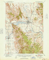
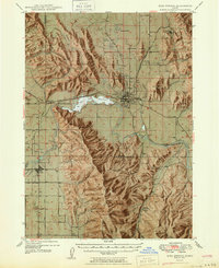
Editions of this 1949 Soda Springs Map
4 editions found
Other maps of this area

1909 · Montpelier
USGS Topo · 1:125,000

1911 · Montpelier
USGS Topo · 1:125,000

1911 · Slug Creek
USGS Topo · 1:62,500

1914 · Henry
USGS Topo · 1:48,000

1915 · Preston
USGS Topo · 1:96,000

1915 · Lanes Creek
USGS Topo · 1:62,500

1916 · Henry
USGS Topo · 1:62,500

1917 · Portneuf
USGS Topo · 1:62,500

1918 · Preston
USGS Topo · 1:125,000

1948 · Bancroft
USGS Topo · 1:62,500