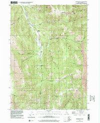
1999 Map of Stewart Flat
USGS Topo · Published 2002About this map
Caribou National Forest covers much of this high-elevation landscape, where the wide plateau of Stewart Flat stands between the heights of Dry Ridge and the Smoky Canyon area. The presence of the Johnson Guard Sta and the Smith Sawmill (Site) along Stewart Canyon suggests a history of forest management and early timber harvesting. The drainage network is defined by Diamond Creek and Bear Creek, which cut through deep canyons alongside prominent landmarks like Draney Peak. Interpretive details like Lone Pine Spr and Freeman Pass highlight the importance of water sources and transit routes through this complex mountain terrain. The map serves as a vital record of land use and natural topography within the Caribou mountain range at the turn of the twenty-first century.
Find a feature on this map
25 named features on this map. Tap any name to fly to it.
Don’t see what you’re looking for? This feature index may not catch every label — zoom into the map to look around manually.
Map Details
Editions of this 1999 Stewart Flat Map
This is the sole edition of this map. No revisions or reprints were ever made.
Other maps of this area

1911 · Slug Creek
USGS Topo · 1:62,500

1915 · Freedom
USGS Topo · 1:62,500

1915 · Crow Creek
USGS Topo · 1:62,500

1915 · Lanes Creek
USGS Topo · 1:62,500

1949 · Stewart Flat
USGS Topo · 1:24,000

1949 · Dry Valley
USGS Topo · 1:24,000

1949 · Snowdrift Mountain
USGS Topo · 1:24,000
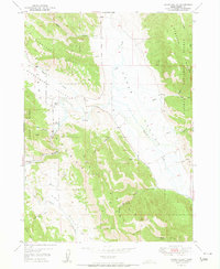
1951 · Upper Valley
USGS Topo · 1:24,000

1951 · Stewart Flat
USGS Topo · 1:24,000
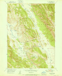
1951 · Dry Valley
USGS Topo · 1:24,000