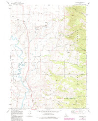
1969 Map of Thatcher
USGS Topo · Published 1984About this map
The Bear River winds through the heart of this Idaho landscape, carving a path between Gentile Valley and Mound Valley. At the center of the survey is the community of Thatcher, where the Central High Sch served the surrounding rural population. Further north, the settlement of Lago and the Lago Cem mark the transition toward the higher elevations of the Cache National Forest. The presence of the Grace Fish Hatchery and numerous named springs like Harris Spring and Bitton Spring highlights the area's dependence on its abundant water resources. To the east, the terrain becomes increasingly complex as it rises into Cheatbeck Canyon and along Red Pine Ridge. This map illustrates the intersection of mid-century agricultural life in the valleys with the steep, undeveloped forest lands of the Caribou-Franklin county line.
Find a feature on this map
41 named features on this map. Tap any name to fly to it.
Don’t see what you’re looking for? This feature index may not catch every label — zoom into the map to look around manually.
Map Details
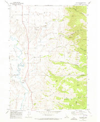
Editions of this 1969 Thatcher Map
2 editions found
Other maps of this area

1915 · Preston
USGS Topo · 1:96,000

1918 · Preston
USGS Topo · 1:125,000

1948 · Bancroft
USGS Topo · 1:62,500

1948 · Soda Springs
USGS Topo · 1:62,500

1949 · Bancroft
USGS Topo · 1:62,500

1949 · Soda Springs
USGS Topo · 1:62,500

1955 · Preston
USGS Topo · 1:250,000

1958 · Preston
USGS Topo · 1:250,000

1962 · Preston
USGS Topo · 1:250,000
1969 · Midnight Mtn
USGS Topo · 1:24,000