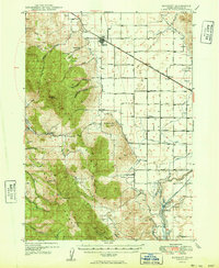
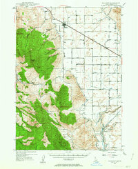
1949 Map of Bancroft
USGS Topo · Published 1949About this map
The Oregon Short Line railroad serves as the industrial backbone of this High Desert landscape, connecting the village of Bancroft with outlying agricultural stops at Talmage and Pebble. The transition from the rugged Portneuf Range peaks, such as Petticoat Pk and Sedgwick Pk, down into the productive Gentile Valley reveals an era of significant hydro-electric development. Downstream along the Bear River, infrastructure for the Grace Power Plant and Cove Power Plant is visible, complete with Surge Tanks, Penstocks, and the Telluride School serving the local community.
Find a feature on this map
59 named features on this map. Tap any name to fly to it.
Don’t see what you’re looking for? This feature index may not catch every label — zoom into the map to look around manually.
Map Details
Editions of this 1949 Bancroft Map
This is the sole edition of this map. No revisions or reprints were ever made.
Other maps of this area
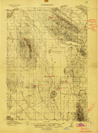
1914 · Henry
USGS Topo · 1:48,000

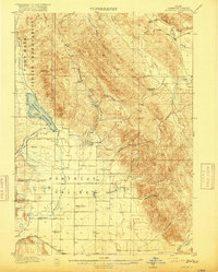
1915 · Preston
USGS Topo · 1:96,000
1916 · Henry
USGS Topo · 1:62,500
1917 · Portneuf
USGS Topo · 1:62,500

1918 · Preston
USGS Topo · 1:125,000
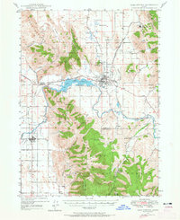
1948 · Bancroft
USGS Topo · 1:62,500
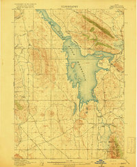
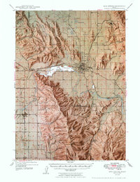
1948 · Soda Springs
USGS Topo · 1:62,500
1949 · Soda Springs
USGS Topo · 1:62,500

1954 · Pocatello
USGS Topo · 1:250,000

1955 · Preston
USGS Topo · 1:250,000