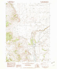
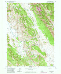
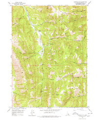
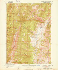
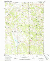
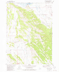
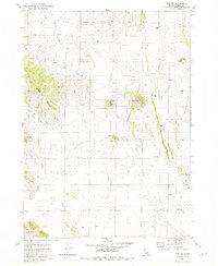
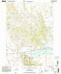
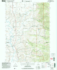
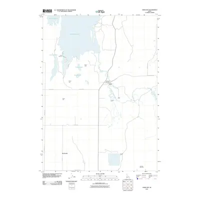
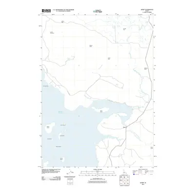
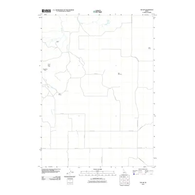
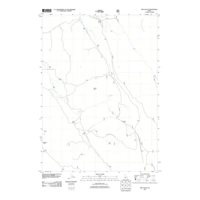
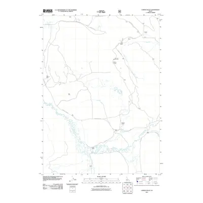
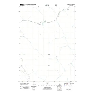
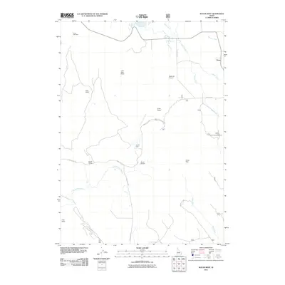
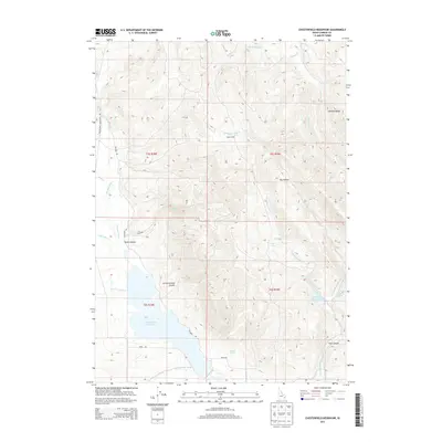
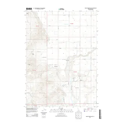
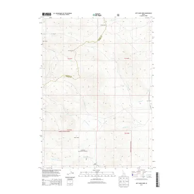
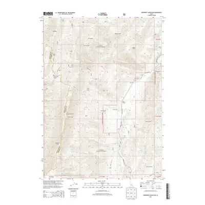
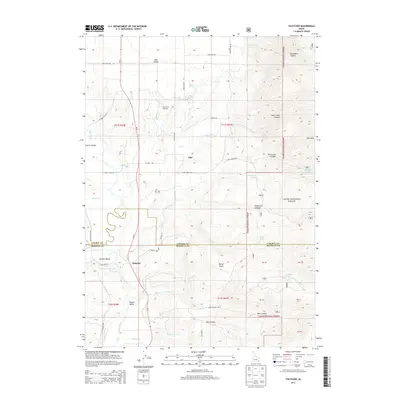
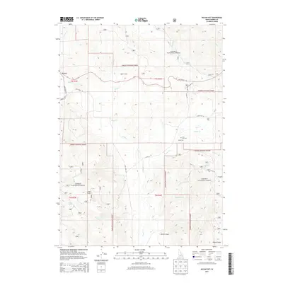
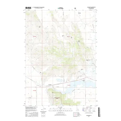
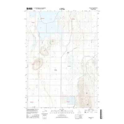
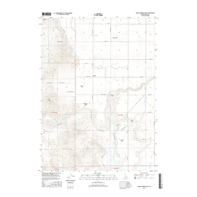
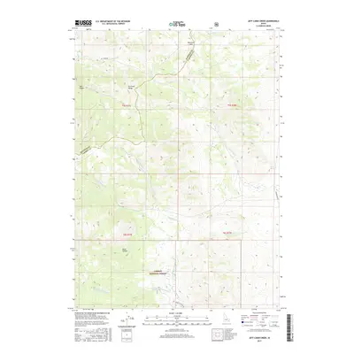
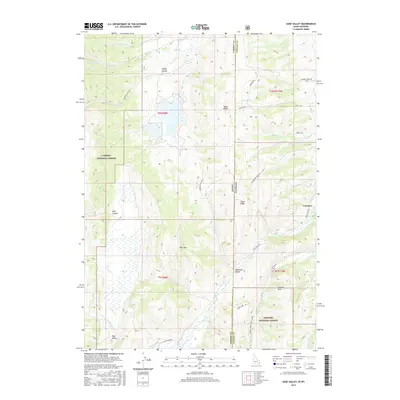
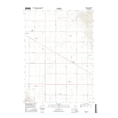
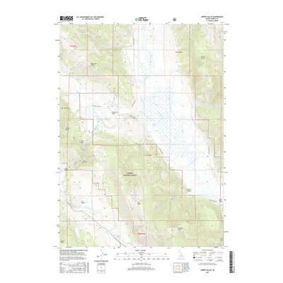
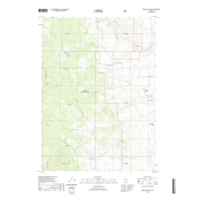
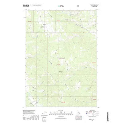
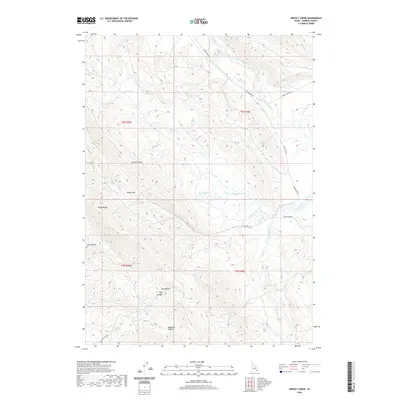
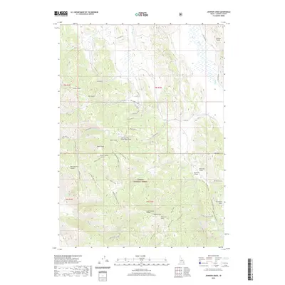
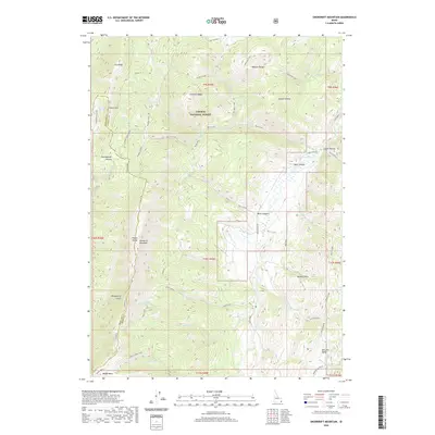
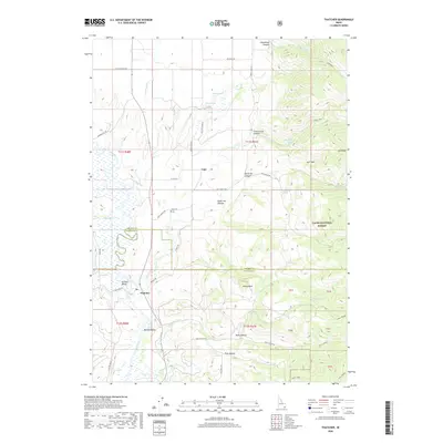
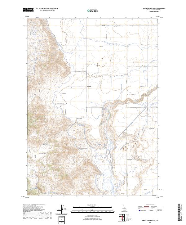
1982 Map of Grace Power Plant
USGS Topo · Published 1983About this map
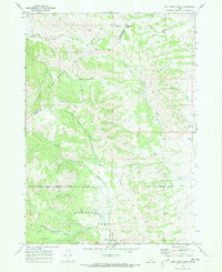
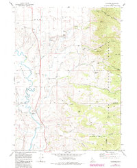
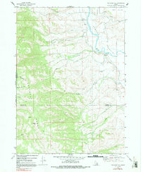
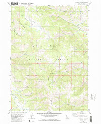
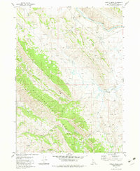
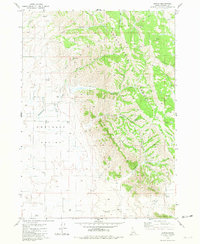
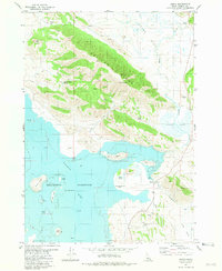
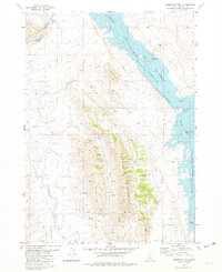
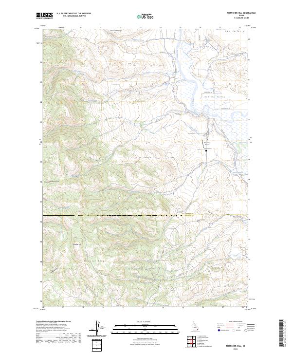
Gentile Valley and the surrounding high country define this portion of Caribou County during the early 1980s. The landscape is a study in hydraulic engineering and electrical generation, centered on the Grace Power Plant and the downstream Cove Power Plant. These facilities are connected by an intricate network of infrastructure, including a Surge Tank, Power Lines, and a Water Pipeline that follows the course of the Bear River. The agricultural character of the valley floor is evidenced by the extensive grid of irrigation features, such as the Int Canal and Int Ditch systems.
Find a feature on this map
23 named features on this map. Tap any name to fly to it.
Don’t see what you’re looking for? This feature index may not catch every label — zoom into the map to look around manually.
Map Details
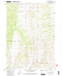
Editions of this 1982 Grace Power Plant Map
This is the sole edition of this map. No revisions or reprints were ever made.
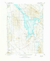
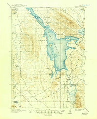
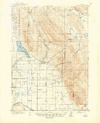
Historical Maps of Caribou County Through Time
175 maps found

1911 Slug Creek
Caribou County, ID
1914 Henry
Caribou County, ID

1915 Lanes Creek
Caribou County, ID
1916 Henry
Caribou County, ID
1917 Portneuf
Caribou County, ID
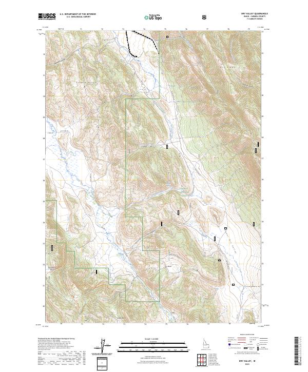
1949 Dry Valley
Caribou County, ID
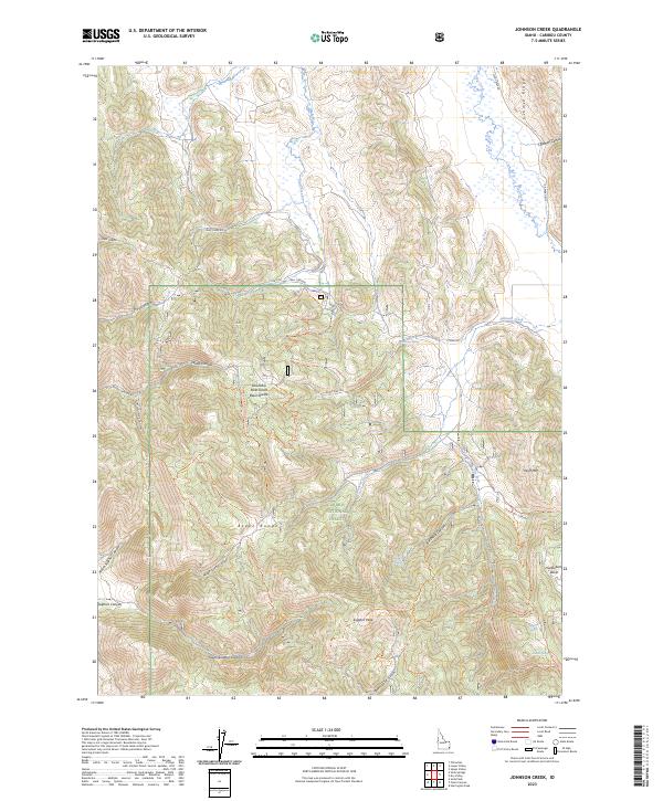
1949 Johnson Creek
Caribou County, ID
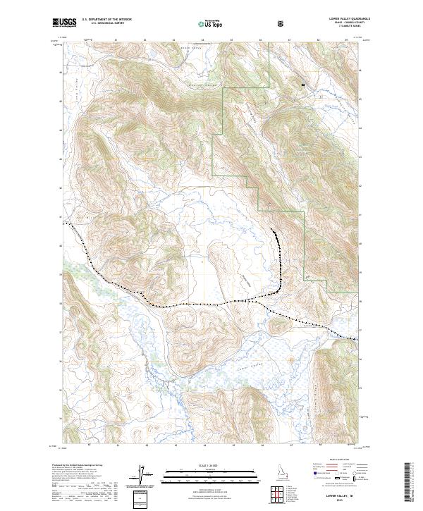
1949 Lower Valley
Caribou County, ID
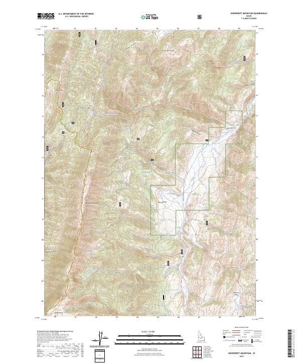
1949 Snowdrift Mountain
Caribou County, ID
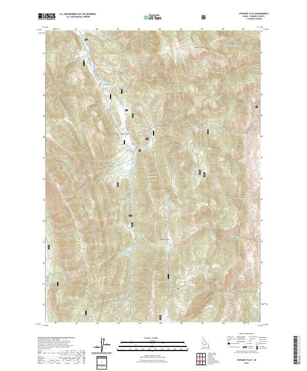
1949 Stewart Flat
Caribou County, ID
1951 Dry Valley
Caribou County, ID
1951 Johnson Creek
Caribou County, ID
1951 Lower Valley
Caribou County, ID
1951 Snowdrift Mountain
Caribou County, ID
1951 Stewart Flat
Caribou County, ID
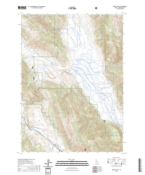
1951 Upper Valley
Caribou County, ID
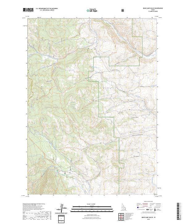
1968 Bear Camp Gulch
Caribou County, ID
1968 Jeff Cabin Creek
Caribou County, ID
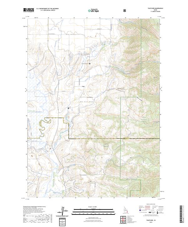
1969 Thatcher
Caribou County, ID
1969 Thatcher Hill
Caribou County, ID
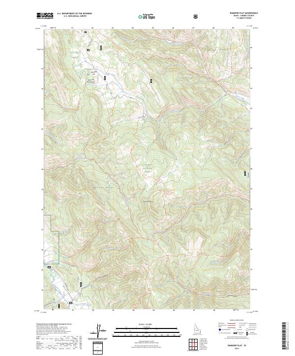
1980 Diamond Flat
Caribou County, ID
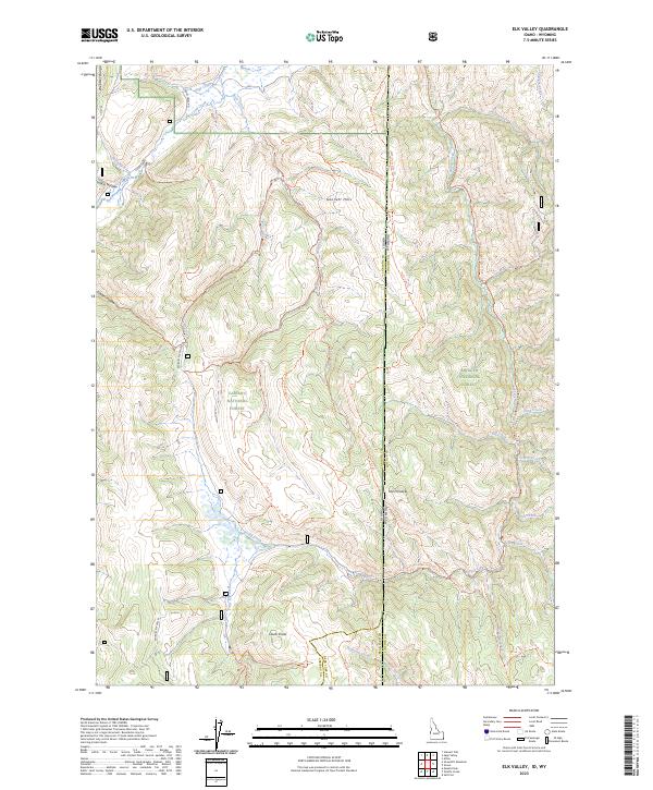
1980 Elk Valley
Caribou County, ID
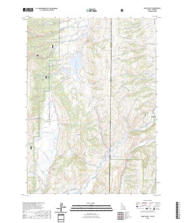
1980 Sage Valley
Caribou County, ID
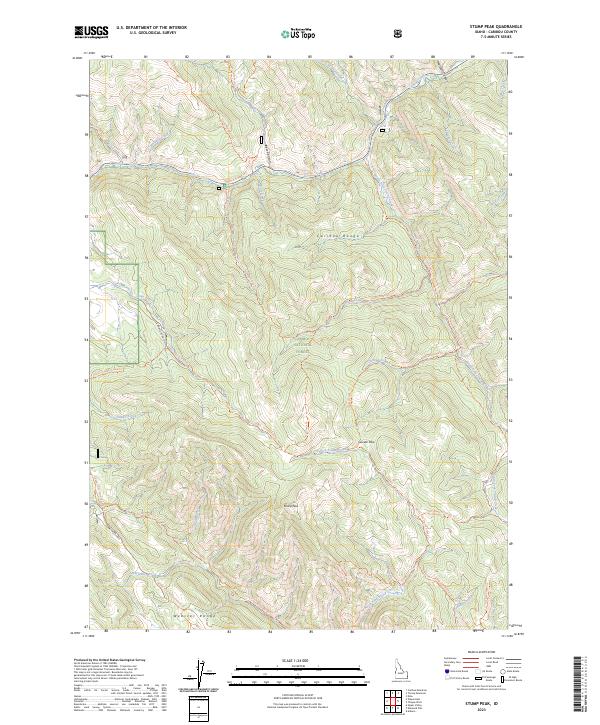
1980 Stump Peak
Caribou County, ID
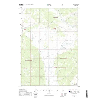
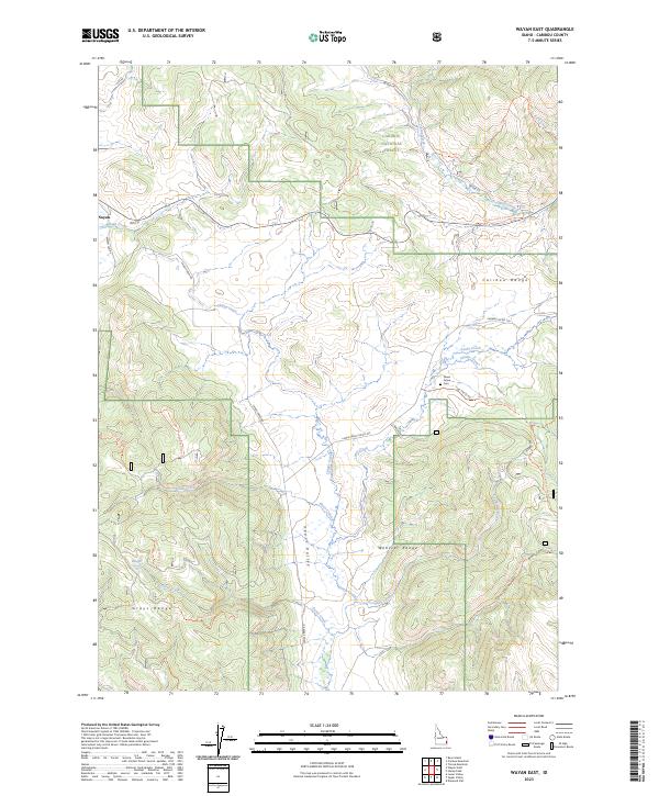
1980 Wayan East
Caribou County, ID
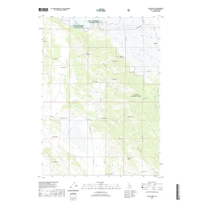
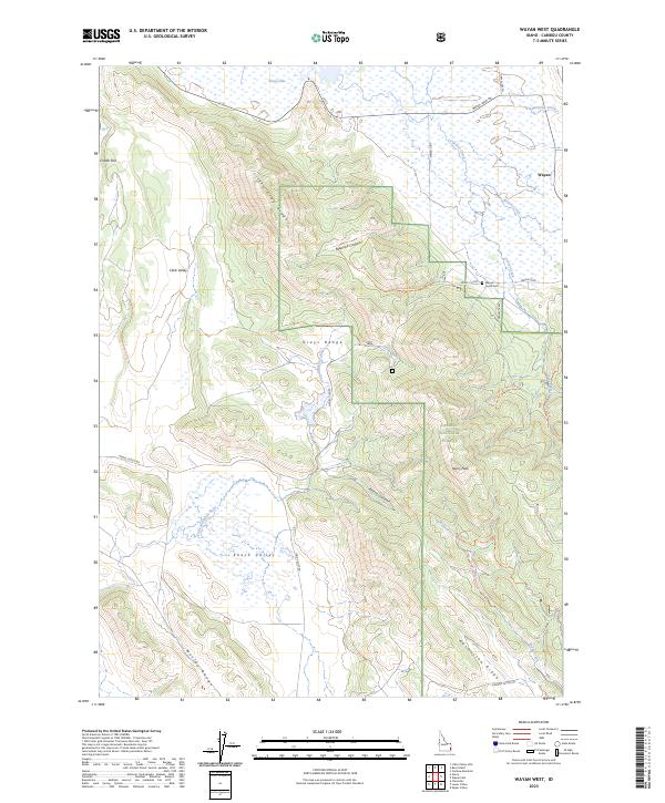
1980 Wayan West
Caribou County, ID
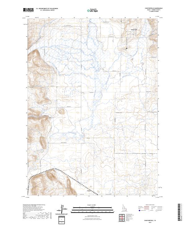
1981 Chesterfield
Caribou County, ID
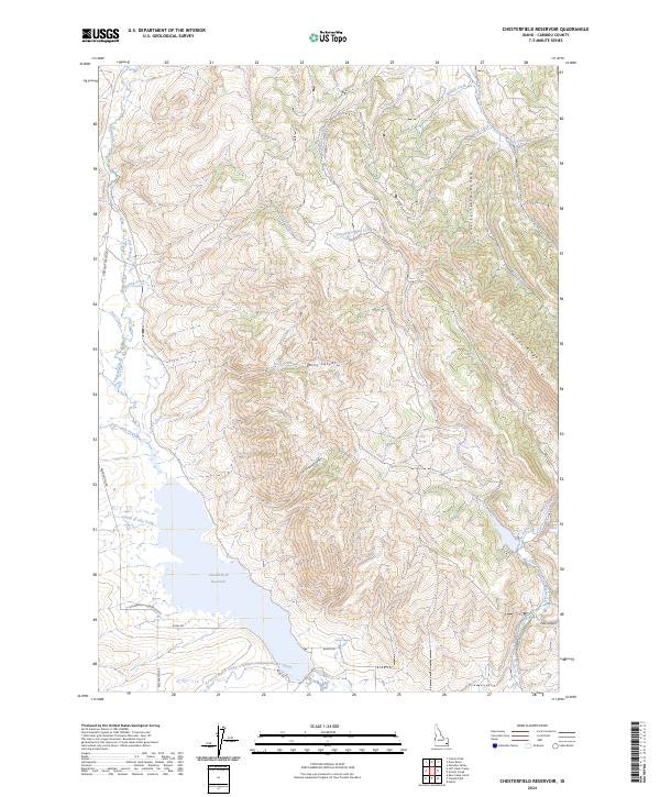
1981 Chesterfield Res
Caribou County, ID
1981 China Hat
Caribou County, ID
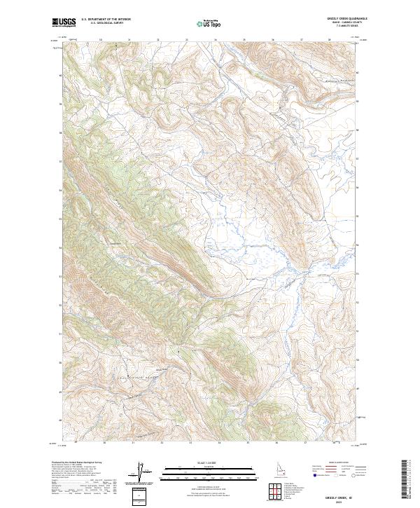
1981 Grizzly Creek
Caribou County, ID
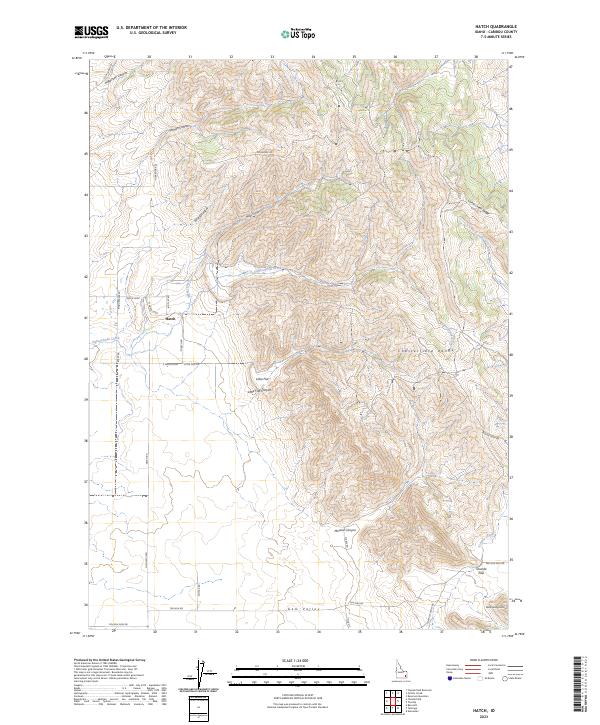
1981 Hatch
Caribou County, ID
1981 Henry
Caribou County, ID
1981 Reservoir Mtn
Caribou County, ID
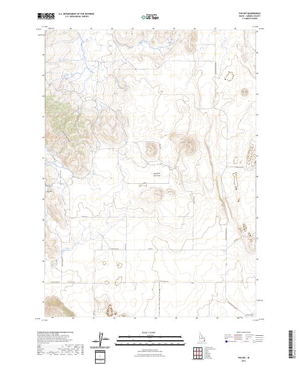
1981 The Dip
Caribou County, ID
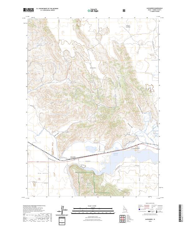
1982 Alexander
Caribou County, ID
1982 Grace Power Plant
Caribou County, ID
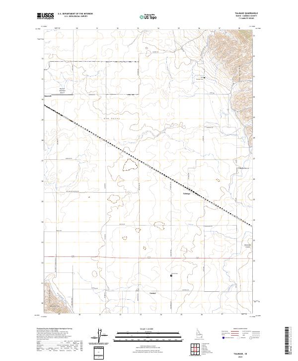
1982 Talmage
Caribou County, ID
1999 Stewart Flat
Caribou County, ID
2005 Alexander
Caribou County, ID
2005 Thatcher
Caribou County, ID
2010 Chesterfield
Caribou County, ID
2010 Chesterfield Reservoir
Caribou County, ID
2010 China Hat
Caribou County, ID
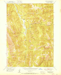
2010 Grace Power Plant
Caribou County, ID
2010 Grizzly Creek
Caribou County, ID
2010 Hatch
Caribou County, ID
2010 Henry
Caribou County, ID
2010 Reservoir Mountain
Caribou County, ID
2010 Talmage
Caribou County, ID
2010 Thatcher Hill
Caribou County, ID
2010 The Dip
Caribou County, ID
2011 Alexander
Caribou County, ID
2011 Bear Camp Gulch
Caribou County, ID
2011 Diamond Flat
Caribou County, ID
2011 Dry Valley
Caribou County, ID
2011 Elk Valley
Caribou County, ID
2011 Jeff Cabin Creek
Caribou County, ID
2011 Johnson Creek
Caribou County, ID
2011 Lower Valley
Caribou County, ID
2011 Sage Valley
Caribou County, ID
2011 Snowdrift Mountain
Caribou County, ID
2011 Stewart Flat
Caribou County, ID
2011 Stump Peak
Caribou County, ID
2011 Thatcher
Caribou County, ID
2011 Upper Valley
Caribou County, ID
2011 Wayan East
Caribou County, ID
2011 Wayan West
Caribou County, ID
2013 Alexander
Caribou County, ID
2013 Bear Camp Gulch
Caribou County, ID
2013 Chesterfield
Caribou County, ID
2013 Chesterfield Reservoir
Caribou County, ID
2013 China Hat
Caribou County, ID
2013 Diamond Flat
Caribou County, ID
2013 Dry Valley
Caribou County, ID
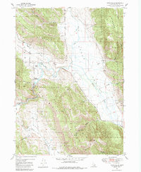
2013 Grace Power Plant
Caribou County, ID
2013 Grizzly Creek
Caribou County, ID
2013 Hatch
Caribou County, ID
2013 Henry
Caribou County, ID
2013 Jeff Cabin Creek
Caribou County, ID
2013 Johnson Creek
Caribou County, ID
2013 Lower Valley
Caribou County, ID
2013 Reservoir Mountain
Caribou County, ID
2013 Snowdrift Mountain
Caribou County, ID
2013 Stewart Flat
Caribou County, ID
2013 Stump Peak
Caribou County, ID
2013 Talmage
Caribou County, ID
2013 Thatcher
Caribou County, ID
2013 Thatcher Hill
Caribou County, ID
2013 The Dip
Caribou County, ID
2013 Upper Valley
Caribou County, ID
2013 Wayan East
Caribou County, ID
2013 Wayan West
Caribou County, ID
2015 Elk Valley
Caribou County, ID
2015 Sage Valley
Caribou County, ID
2017 Alexander
Caribou County, ID
2017 Bear Camp Gulch
Caribou County, ID
2017 Chesterfield
Caribou County, ID
2017 Chesterfield Reservoir
Caribou County, ID
2017 China Hat
Caribou County, ID
2017 Diamond Flat
Caribou County, ID
2017 Dry Valley
Caribou County, ID
2017 Elk Valley
Caribou County, ID
2017 Grace Power Plant
Caribou County, ID
2017 Grizzly Creek
Caribou County, ID
2017 Hatch
Caribou County, ID
2017 Henry
Caribou County, ID
2017 Jeff Cabin Creek
Caribou County, ID
2017 Johnson Creek
Caribou County, ID
2017 Lower Valley
Caribou County, ID
2017 Reservoir Mountain
Caribou County, ID
2017 Sage Valley
Caribou County, ID
2017 Snowdrift Mountain
Caribou County, ID
2017 Stewart Flat
Caribou County, ID
2017 Stump Peak
Caribou County, ID
2017 Talmage
Caribou County, ID
2017 Thatcher
Caribou County, ID
2017 Thatcher Hill
Caribou County, ID
2017 The Dip
Caribou County, ID
2017 Upper Valley
Caribou County, ID
2017 Wayan East
Caribou County, ID
2017 Wayan West
Caribou County, ID
2020 Alexander
Caribou County, ID
2020 Bear Camp Gulch
Caribou County, ID
2020 Chesterfield
Caribou County, ID
2020 Chesterfield Reservoir
Caribou County, ID
2020 China Hat
Caribou County, ID
2020 Diamond Flat
Caribou County, ID
2020 Dry Valley
Caribou County, ID
2020 Elk Valley
Caribou County, ID
2020 Grace Power Plant
Caribou County, ID
2020 Grizzly Creek
Caribou County, ID
2020 Hatch
Caribou County, ID
2020 Henry
Caribou County, ID
2020 Jeff Cabin Creek
Caribou County, ID
2020 Johnson Creek
Caribou County, ID
2020 Lower Valley
Caribou County, ID
2020 Reservoir Mountain
Caribou County, ID
2020 Sage Valley
Caribou County, ID
2020 Snowdrift Mountain
Caribou County, ID
2020 Stewart Flat
Caribou County, ID
2020 Stump Peak
Caribou County, ID
2020 Talmage
Caribou County, ID
2020 Thatcher
Caribou County, ID
2020 Thatcher Hill
Caribou County, ID
2020 The Dip
Caribou County, ID
2020 Upper Valley
Caribou County, ID
2020 Wayan East
Caribou County, ID
2020 Wayan West
Caribou County, ID
2023 Bear Camp Gulch
Caribou County, ID
2023 Chesterfield
Caribou County, ID
2023 Diamond Flat
Caribou County, ID
2023 Dry Valley
Caribou County, ID
2023 Elk Valley
Caribou County, ID
2023 Grace Power Plant
Caribou County, ID
2023 Grizzly Creek
Caribou County, ID
2023 Hatch
Caribou County, ID
2023 Johnson Creek
Caribou County, ID
2023 Lower Valley
Caribou County, ID
2023 Sage Valley
Caribou County, ID
2023 Snowdrift Mountain
Caribou County, ID
2023 Stewart Flat
Caribou County, ID
2023 Stump Peak
Caribou County, ID
2023 Talmage
Caribou County, ID
2023 Thatcher
Caribou County, ID
2023 The Dip
Caribou County, ID
2023 Upper Valley
Caribou County, ID
2023 Wayan East
Caribou County, ID
2023 Wayan West
Caribou County, ID
2024 Alexander
Caribou County, ID
2024 Chesterfield Reservoir
Caribou County, ID
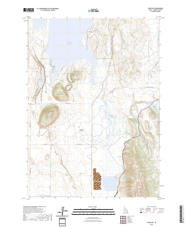
2024 China Hat
Caribou County, ID
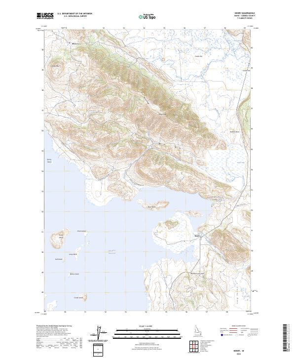
2024 Henry
Caribou County, ID
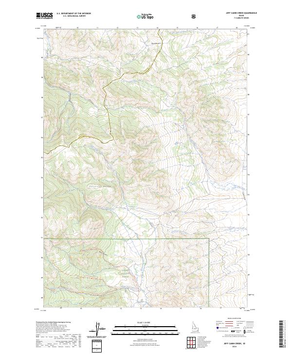
2024 Jeff Cabin Creek
Caribou County, ID
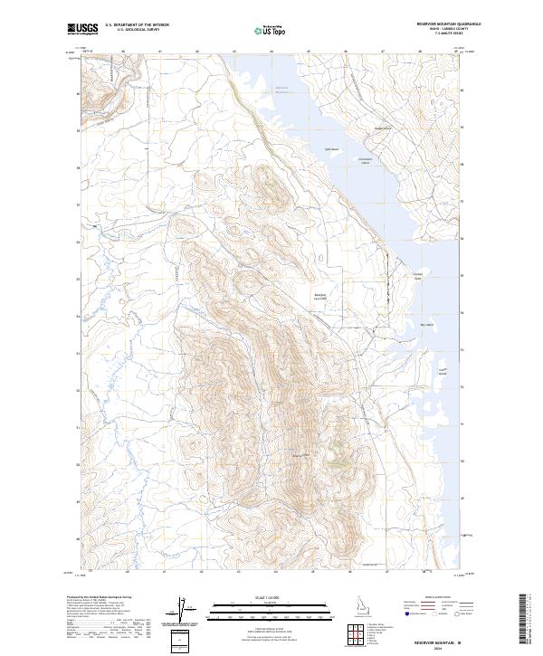
2024 Reservoir Mountain
Caribou County, ID
2024 Thatcher Hill
Caribou County, ID