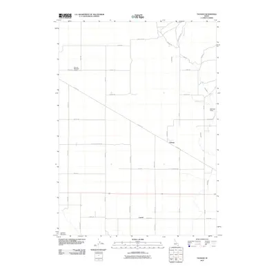
2010 Map of Talmage
USGS Topo · Published 2010About this map
Talmage and Central anchor this agricultural landscape in Caribou County, where the topography transitions from the base of Buckskin Mountain in the southwest toward the open reach of Swenson Valley in the northeast. The rural infrastructure of the early 21st century is defined by a rigorous grid of section-line roads and specialized water management systems like the Soda Canal and Tenmile Creek. Old Hwy 30 cuts diagonally across this grid, serving as a primary corridor through the valley, while the Bancroft Municipal Airport provides an essential connection for this southeastern Idaho community. Local history is etched into the landscape through family-named thoroughfares such as Hatch Rd, Fisher Rd, and Rigby Rd, alongside landmarks like the thoroughfare of Cemetery Rd, which reflect the generations of settlement in this high-desert basin.
Find a feature on this map
31 named features on this map. Tap any name to fly to it.
Don’t see what you’re looking for? This feature index may not catch every label — zoom into the map to look around manually.
Map Details
Editions of this 2010 Talmage Map
This is the sole edition of this map. No revisions or reprints were ever made.
Other maps of this area

1914 · Henry
USGS Topo · 1:48,000

1916 · Henry
USGS Topo · 1:62,500

1917 · Portneuf
USGS Topo · 1:62,500

1948 · Bancroft
USGS Topo · 1:62,500

1948 · Soda Springs
USGS Topo · 1:62,500

1949 · Bancroft
USGS Topo · 1:62,500

1949 · Soda Springs
USGS Topo · 1:62,500

1955 · Preston
USGS Topo · 1:250,000

1958 · Preston
USGS Topo · 1:250,000

1962 · Preston
USGS Topo · 1:250,000