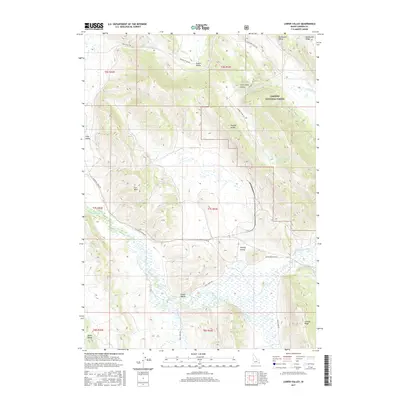
2017 Map of Lower Valley
USGS Topo · Published 2017About this map
Lower Valley occupies a distinctive high-mountain landscape in Caribou County, where the Blackfoot River winds through a complex series of parallel ridges and troughs. The topography is defined by the Wooley Range and Rasmussen Ridge, which hem in several distinct meadows and basins including Wooley Valley, Enoch Valley, and Rasmussen Valley. Much of the eastern and northern portions of this terrain fall within the Caribou National Forest, a region marked by steep elevation changes and intricate drainage patterns like those of Angus Cr and Slug Cr. The road network, including the Blackfoot River Rd and Trail Creek Rd, follows the natural contours of the valley floors, providing a record of how travel and land use have been dictated by the formidable geology of the Aspen Range and surrounding peaks.
Find a feature on this map
31 named features on this map. Tap any name to fly to it.
Don’t see what you’re looking for? This feature index may not catch every label — zoom into the map to look around manually.
Map Details
Editions of this 2017 Lower Valley Map
This is the sole edition of this map. No revisions or reprints were ever made.
Other maps of this area

1911 · Slug Creek
USGS Topo · 1:62,500

1914 · Henry
USGS Topo · 1:48,000

1915 · Lanes Creek
USGS Topo · 1:62,500

1916 · Henry
USGS Topo · 1:62,500

1948 · Soda Springs
USGS Topo · 1:62,500

1949 · Soda Springs
USGS Topo · 1:62,500

1949 · Johnson Creek
USGS Topo · 1:24,000

1949 · Dry Valley
USGS Topo · 1:24,000

1949 · Lower Valley
USGS Topo · 1:24,000

1951 · Lower Valley
USGS Topo · 1:24,000