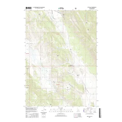
2017 Map of Dry Valley
USGS Topo · Published 2017About this map
Caribou National Forest dominates this section of Caribou County, where the high-elevation landscape is defined by deep basins and prominent ridges. The area’s water sources are concentrated at Donetree Spring and Goodheart Spring, feeding into drainage systems like Dry Valley Cr and Goodheart Cr. These features indicate the critical role of seasonal water in this high-country environment, supporting both the forest ecosystem and likely historical grazing or mining access.
Find a feature on this map
27 named features on this map. Tap any name to fly to it.
Don’t see what you’re looking for? This feature index may not catch every label — zoom into the map to look around manually.
Map Details
Editions of this 2017 Dry Valley Map
This is the sole edition of this map. No revisions or reprints were ever made.
Other maps of this area

1911 · Slug Creek
USGS Topo · 1:62,500

1915 · Freedom
USGS Topo · 1:62,500

1915 · Crow Creek
USGS Topo · 1:62,500

1915 · Lanes Creek
USGS Topo · 1:62,500

1949 · Johnson Creek
USGS Topo · 1:24,000

1949 · Stewart Flat
USGS Topo · 1:24,000

1949 · Dry Valley
USGS Topo · 1:24,000

1949 · Snowdrift Mountain
USGS Topo · 1:24,000

1949 · Lower Valley
USGS Topo · 1:24,000

1951 · Lower Valley
USGS Topo · 1:24,000