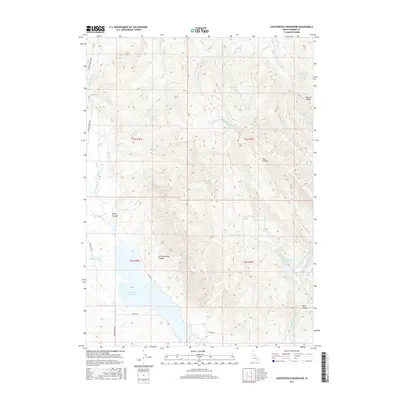
2017 Map of Chesterfield Reservoir
USGS Topo · Published 2017About this map
Chesterfield Reservoir anchors this high-elevation landscape in southeastern Idaho, where drainage from the surrounding canyons feeds into the upper Portneuf River system. The map captures a rugged topography defined by named landmarks like Sawmill Ridge and Jim Corneilson Canyon, reflecting a long history of local land use and geographic naming. The network of seasonal and perennial streams, including Twentyfour Mile Cr and Jeff Cabin Cr, highlights the complex water management required in this arid environment, culminating in the Twentyfour Mile Reservoir and the larger Chesterfield pool. A rural road network, including Banks Rd and Reservation Rd, skirts the water's edge, providing access to remote springs such as Corduroy Spring and Hibner Spring. This survey provides a clear view of the hydraulic and topographic character of the region before further modern developments altered the local drainage patterns.
Find a feature on this map
32 named features on this map. Tap any name to fly to it.
Don’t see what you’re looking for? This feature index may not catch every label — zoom into the map to look around manually.
Map Details
Editions of this 2017 Chesterfield Reservoir Map
This is the sole edition of this map. No revisions or reprints were ever made.
Other maps of this area

1917 · Portneuf
USGS Topo · 1:62,500

1918 · Paradise Valley
USGS Topo · 1:62,500

1954 · Pocatello
USGS Topo · 1:250,000

1955 · Yandell Springs
USGS Topo · 1:62,500

1955 · Idaho Falls
USGS Topo · 1:250,000

1955 · Driggs
USGS Topo · 1:250,000

1955 · Preston
USGS Topo · 1:250,000

1958 · Driggs
USGS Topo · 1:250,000

1958 · Idaho Falls
USGS Topo · 1:250,000

1958 · Pocatello
USGS Topo · 1:250,000