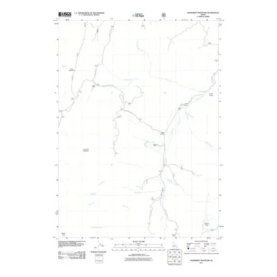
2011 Map of Snowdrift Mountain
USGS Topo · Published 2011About this map
Allemans Ranch and Nate Ranch sit along the valley floor of Crow Creek, anchoring a landscape defined by high-altitude ridges and narrow canyons in Caribou County. The presence of Trapper Cabin and the Halfway House suggests a history of transient occupation and rural travel along the primitive road networks, including Crow Creek Rd and various Forest Service routes.
Find a feature on this map
30 named features on this map. Tap any name to fly to it.
Don’t see what you’re looking for? This feature index may not catch every label — zoom into the map to look around manually.
Map Details
Editions of this 2011 Snowdrift Mountain Map
This is the sole edition of this map. No revisions or reprints were ever made.
Other maps of this area

1909 · Montpelier
USGS Topo · 1:125,000

1911 · Montpelier
USGS Topo · 1:125,000

1911 · Slug Creek
USGS Topo · 1:62,500

1915 · Crow Creek
USGS Topo · 1:62,500

1949 · Stewart Flat
USGS Topo · 1:24,000

1949 · Dry Valley
USGS Topo · 1:24,000

1949 · Snowdrift Mountain
USGS Topo · 1:24,000

1951 · Stewart Flat
USGS Topo · 1:24,000
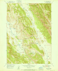
1951 · Dry Valley
USGS Topo · 1:24,000
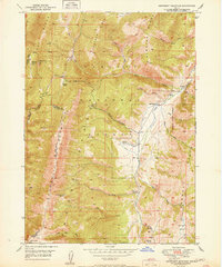
1951 · Snowdrift Mountain
USGS Topo · 1:24,000