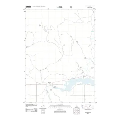
2011 Map of Alexander
USGS Topo · Published 2011About this map
The Bear River carves through this southeastern Idaho landscape, its flow managed by both the Alexander Dam and Soda Dam. These structures create the prominent Alexander Reservoir, a central feature for the settlement of Alexander. The geography here is a complex intersection of historical transit and modern utility, where the ancient path of the Oregon Trail Rd and the Hudspeths Cutoff meet industrial water management systems like the Soda Canal.
Find a feature on this map
43 named features on this map. Tap any name to fly to it.
Don’t see what you’re looking for? This feature index may not catch every label — zoom into the map to look around manually.
Map Details
Editions of this 2011 Alexander Map
This is the sole edition of this map. No revisions or reprints were ever made.
Other maps of this area

1914 · Henry
USGS Topo · 1:48,000

1916 · Henry
USGS Topo · 1:62,500

1917 · Portneuf
USGS Topo · 1:62,500

1948 · Bancroft
USGS Topo · 1:62,500

1948 · Soda Springs
USGS Topo · 1:62,500

1949 · Bancroft
USGS Topo · 1:62,500

1949 · Soda Springs
USGS Topo · 1:62,500

1955 · Preston
USGS Topo · 1:250,000

1958 · Preston
USGS Topo · 1:250,000

1962 · Preston
USGS Topo · 1:250,000