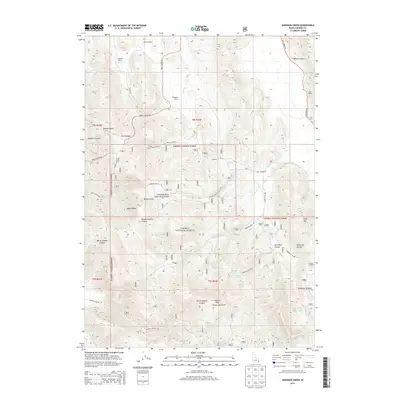
2013 Map of Johnson Creek
USGS Topo · Published 2013About this map
The Columbia River Great Basin Divide bisects this high-elevation landscape within the Caribou National Forest, marking a critical hydrologic boundary in eastern Idaho. To the west, drainages such as North Sulphur Canyon and South Sulphur Canyon flank Sulphur Peak, while the eastern slopes feed the Johnson Creek system. Ranching heritage is deeply embedded in the terrain, evidenced by family names on remote outposts like Bennett Ranch, Jougelard Ranch, and Finlayson Ranch. This 2013 survey illustrates a rugged expanse defined by the Aspen Range and numerous deep-cut draws including Caldwell Canyon and Shield Canyon. Vital water sources like Junction Spring and Burchertt Spring provided essential stopovers for travel through the Huckleberry Basin and along routes like Trail Canyon Road.
Find a feature on this map
37 named features on this map. Tap any name to fly to it.
Don’t see what you’re looking for? This feature index may not catch every label — zoom into the map to look around manually.
Map Details
Editions of this 2013 Johnson Creek Map
This is the sole edition of this map. No revisions or reprints were ever made.
Other maps of this area

1911 · Slug Creek
USGS Topo · 1:62,500

1914 · Henry
USGS Topo · 1:48,000

1915 · Lanes Creek
USGS Topo · 1:62,500

1916 · Henry
USGS Topo · 1:62,500

1948 · Soda Springs
USGS Topo · 1:62,500

1949 · Soda Springs
USGS Topo · 1:62,500

1949 · Johnson Creek
USGS Topo · 1:24,000

1949 · Dry Valley
USGS Topo · 1:24,000

1949 · Lower Valley
USGS Topo · 1:24,000

1951 · Lower Valley
USGS Topo · 1:24,000