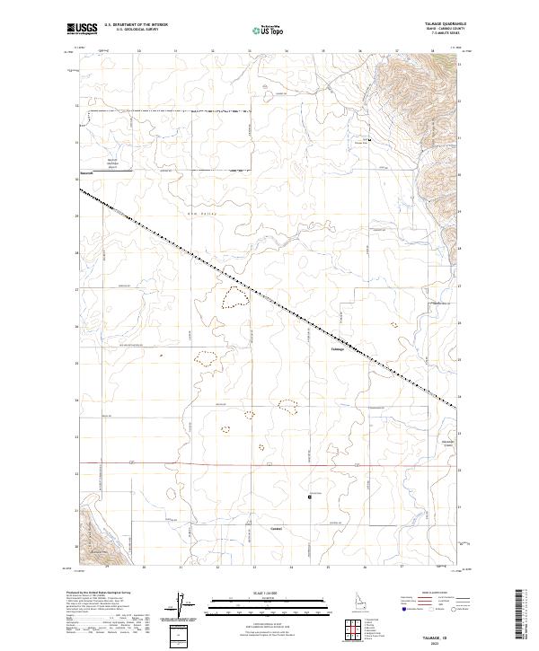
2023 Map of Talmage
USGS Topo · Published 2023About this map
Gem Valley provides the central stage for this rural Idaho landscape, where a grid of farm-to-market roads connects small agricultural hubs. The settlement of Bancroft sits in the northwest corner, served by the Bancroft Municipal Airport, while the tiny communities of Talmage and Central anchor the southern reaches. This modern survey reflects the enduring agrarian layout of Caribou County, showing how the Soda Canal and West Branch Canal draw water across the flats to support local ranching. The eastern and western margins are defined by higher ground, specifically the Soda Springs Hills and the Fish Creek Range, the latter of which features Buckskin Mtn. Local heritage is preserved in sites like Pioneer Cem and Central Cem, and the presence of Oregon Trail Rd in the east marks a significant historical corridor through the high desert terrain.
Find a feature on this map
44 named features on this map. Tap any name to fly to it.
Don’t see what you’re looking for? This feature index may not catch every label — zoom into the map to look around manually.
Map Details
Editions of this 2023 Talmage Map
This is the sole edition of this map. No revisions or reprints were ever made.
Other maps of this area

1914 · Henry
USGS Topo · 1:48,000

1916 · Henry
USGS Topo · 1:62,500

1917 · Portneuf
USGS Topo · 1:62,500

1948 · Bancroft
USGS Topo · 1:62,500

1948 · Soda Springs
USGS Topo · 1:62,500

1949 · Bancroft
USGS Topo · 1:62,500

1949 · Soda Springs
USGS Topo · 1:62,500

1955 · Preston
USGS Topo · 1:250,000

1958 · Preston
USGS Topo · 1:250,000

1962 · Preston
USGS Topo · 1:250,000