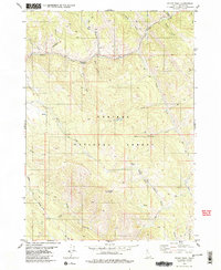
1980 Map of Stump Peak
USGS Topo · Published 1980About this map
Stump Peak and the high ridges of the Caribou National Forest dominate this 1980 survey, which records a landscape shaped by early migration and rugged geography. The historic Lander Cutoff of the Oregon Trail crosses the terrain, following the course of Lander Creek and passing near the remarkably named Suicide Pass. This corridor represents a vital link in 19th-century westward expansion, carved through a complex drainage system of the Caribou range.
Find a feature on this map
32 named features on this map. Tap any name to fly to it.
Don’t see what you’re looking for? This feature index may not catch every label — zoom into the map to look around manually.
Map Details
Editions of this 1980 Stump Peak Map
3 editions found
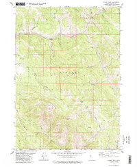
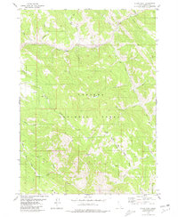
Other maps of this area

1915 · Freedom
USGS Topo · 1:62,500

1915 · Lanes Creek
USGS Topo · 1:62,500

1932 · Irwin
USGS Topo · 1:96,000

1935 · Irwin
USGS Topo · 1:125,000
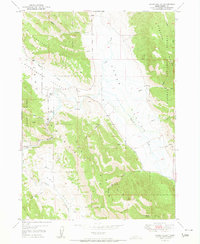
1951 · Upper Valley
USGS Topo · 1:24,000

1955 · Driggs
USGS Topo · 1:250,000

1955 · Preston
USGS Topo · 1:250,000

1958 · Driggs
USGS Topo · 1:250,000

1958 · Preston
USGS Topo · 1:250,000

1962 · Driggs
USGS Topo · 1:250,000