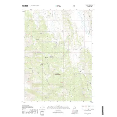
2020 Map of Johnson Creek
USGS Topo · Published 2020About this map
The Aspen Range defines this high-elevation landscape within the Caribou National Forest, where drainage patterns are split by the Columbia River Great Basin Divide. This hydrologic boundary separates the westward-flowing waters from the internal drainage of the Great Basin, a defining geographic characteristic of the region. The map reveals a complex network of canyons and gulches, including Shield Canyon, Middle Sulphur Canyon, and Petterson Canyon, which cut through the ridges and basin floors.
Find a feature on this map
48 named features on this map. Tap any name to fly to it.
Don’t see what you’re looking for? This feature index may not catch every label — zoom into the map to look around manually.
Map Details
Editions of this 2020 Johnson Creek Map
This is the sole edition of this map. No revisions or reprints were ever made.
Other maps of this area

1911 · Slug Creek
USGS Topo · 1:62,500

1914 · Henry
USGS Topo · 1:48,000

1915 · Lanes Creek
USGS Topo · 1:62,500

1916 · Henry
USGS Topo · 1:62,500

1948 · Soda Springs
USGS Topo · 1:62,500

1949 · Soda Springs
USGS Topo · 1:62,500

1949 · Johnson Creek
USGS Topo · 1:24,000

1949 · Dry Valley
USGS Topo · 1:24,000

1949 · Lower Valley
USGS Topo · 1:24,000

1951 · Lower Valley
USGS Topo · 1:24,000