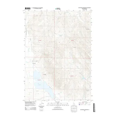
2013 Map of Chesterfield Reservoir
USGS Topo · Published 2013About this map
Chesterfield Reservoir and its surrounding water systems define this high-altitude landscape in Caribou County. The map documents the critical infrastructure of the Portneuf Marsh Valley Irrigation Company Feeder Canal, which directs water through the southern basin. The northern terrain is marked by significant drainages including Twentyfour Mile Cr and Wood Cr, which descend from Sawmill Ridge toward the Portneuf River valley.
Find a feature on this map
36 named features on this map. Tap any name to fly to it.
Don’t see what you’re looking for? This feature index may not catch every label — zoom into the map to look around manually.
Map Details
Editions of this 2013 Chesterfield Reservoir Map
This is the sole edition of this map. No revisions or reprints were ever made.
Other maps of this area

1917 · Portneuf
USGS Topo · 1:62,500

1918 · Paradise Valley
USGS Topo · 1:62,500

1954 · Pocatello
USGS Topo · 1:250,000

1955 · Yandell Springs
USGS Topo · 1:62,500

1955 · Idaho Falls
USGS Topo · 1:250,000

1955 · Driggs
USGS Topo · 1:250,000

1955 · Preston
USGS Topo · 1:250,000

1958 · Driggs
USGS Topo · 1:250,000

1958 · Idaho Falls
USGS Topo · 1:250,000

1958 · Pocatello
USGS Topo · 1:250,000