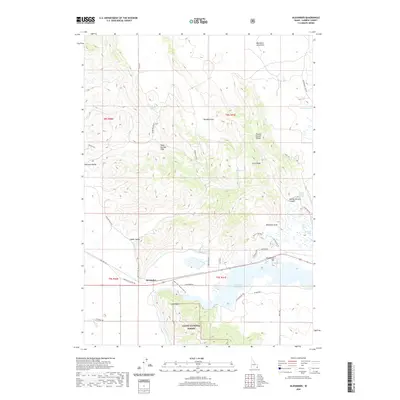
2020 Map of Alexander
USGS Topo · Published 2020About this map
Alexander sits at a historic crossroads in Caribou County, where the legacy of westward migration meets the industrial development of the Bear River. This modern survey illustrates the enduring geography of the Oregon Trail Rd and Hudspeths Cutoff Rd, which pass through the Upper Valley toward the volcanic features of the north. The landscape is defined by the Alexander Reservoir, created by the damming of the river near Soda Point, where the Soda Point Power Plant Rd indicates the localized utility of the waterway. To the north, the terrain shifts into the Soda Springs Hills and the Blackfoot Lava Field, showing the geologically active nature of the region. Water remains a central theme, with numerous natural outlets like Big Spring, Chandler Spring, and Steamboat Spring dotting the base of ridges such as the Ninety Percent Range and Long Ridge.
Find a feature on this map
45 named features on this map. Tap any name to fly to it.
Don’t see what you’re looking for? This feature index may not catch every label — zoom into the map to look around manually.
Map Details
Editions of this 2020 Alexander Map
This is the sole edition of this map. No revisions or reprints were ever made.
Other maps of this area

1914 · Henry
USGS Topo · 1:48,000

1916 · Henry
USGS Topo · 1:62,500

1917 · Portneuf
USGS Topo · 1:62,500

1948 · Bancroft
USGS Topo · 1:62,500

1948 · Soda Springs
USGS Topo · 1:62,500

1949 · Bancroft
USGS Topo · 1:62,500

1949 · Soda Springs
USGS Topo · 1:62,500

1955 · Preston
USGS Topo · 1:250,000

1958 · Preston
USGS Topo · 1:250,000

1962 · Preston
USGS Topo · 1:250,000