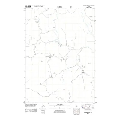
2011 Map of Johnson Creek
USGS Topo · Published 2011About this map
The Columbia River Great Basin Divide bisects this portion of Caribou County, marking a significant hydrologic boundary in the high country of eastern Idaho. The landscape is defined by the sharp elevations of the Aspen Range and peaks such as Wolf Mountain and Sulphur Peak. A network of Forest Service roads, including Caribou NF Rd 124 and Caribou NF Rd 175, provides access to several legacy homesteads and operations, such as Bennett Ranch, Jougelard Ranch, and Finlayson Ranch.
Find a feature on this map
30 named features on this map. Tap any name to fly to it.
Don’t see what you’re looking for? This feature index may not catch every label — zoom into the map to look around manually.
Map Details
Editions of this 2011 Johnson Creek Map
This is the sole edition of this map. No revisions or reprints were ever made.
Other maps of this area

1911 · Slug Creek
USGS Topo · 1:62,500

1914 · Henry
USGS Topo · 1:48,000

1915 · Lanes Creek
USGS Topo · 1:62,500

1916 · Henry
USGS Topo · 1:62,500

1948 · Soda Springs
USGS Topo · 1:62,500

1949 · Soda Springs
USGS Topo · 1:62,500

1949 · Johnson Creek
USGS Topo · 1:24,000

1949 · Dry Valley
USGS Topo · 1:24,000

1949 · Lower Valley
USGS Topo · 1:24,000

1951 · Lower Valley
USGS Topo · 1:24,000