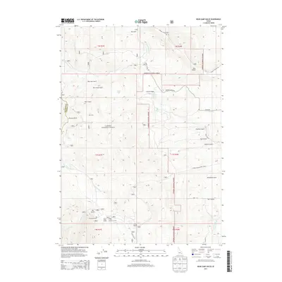
2013 Map of Bear Camp Gulch
USGS Topo · Published 2013About this map
The Portneuf Range anchors this high-elevation landscape within the Caribou National Forest along the border of Bannock and Caribou counties. The map documents a working wilderness characterized by seasonal camps and forest management, featuring the Bear Camp settlement and the Pebble Guard Station near Big Spring. These points of interest, along with the Pebble Cow Camp, suggest a history of grazing and government oversight in the Idaho backcountry. Water remains a defining element of the terrain, from the Portneuf River in the southeast to the isolated Horse Lake and numerous drainage systems like N Fork Pebble Cr and Toponce Cr. The intricate network of canyons, including Gooding Canyon and Dumont Canyon, illustrates the complex geography that has shaped local transportation routes such as Toponce Canyon Rd and Maggies Rd.
Find a feature on this map
44 named features on this map. Tap any name to fly to it.
Don’t see what you’re looking for? This feature index may not catch every label — zoom into the map to look around manually.
Map Details
Editions of this 2013 Bear Camp Gulch Map
This is the sole edition of this map. No revisions or reprints were ever made.
Other maps of this area

1917 · Portneuf
USGS Topo · 1:62,500

1948 · Bancroft
USGS Topo · 1:62,500

1949 · Bancroft
USGS Topo · 1:62,500

1954 · Pocatello
USGS Topo · 1:250,000

1955 · Preston
USGS Topo · 1:250,000

1958 · Pocatello
USGS Topo · 1:250,000

1958 · Preston
USGS Topo · 1:250,000

1962 · Preston
USGS Topo · 1:250,000

1968 · Bear Camp Gulch
USGS Topo · 1:24,000
1968 · South Putnam Mtn
USGS Topo · 1:24,000