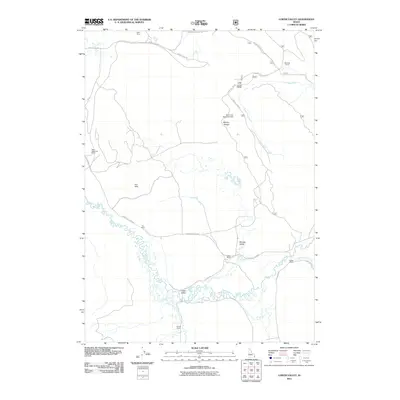
2011 Map of Lower Valley
USGS Topo · Published 2011About this map
The Blackfoot River carves a winding path through this corner of Caribou County, defining the agricultural and industrial character of Lower Valley. The landscape is dotted with several legacy holdings, including the West Steadman Ranch, Fox Ranch, and Stocking Ranch, reflecting a long history of cattle ranching in the region. To the north, the presence of the Henry Mine and the Unit Three Haulroad Dam highlights the intersection of the natural environment with the area's phosphate mining operations.
Find a feature on this map
26 named features on this map. Tap any name to fly to it.
Don’t see what you’re looking for? This feature index may not catch every label — zoom into the map to look around manually.
Map Details
Editions of this 2011 Lower Valley Map
This is the sole edition of this map. No revisions or reprints were ever made.
Other maps of this area

1911 · Slug Creek
USGS Topo · 1:62,500

1914 · Henry
USGS Topo · 1:48,000

1915 · Lanes Creek
USGS Topo · 1:62,500

1916 · Henry
USGS Topo · 1:62,500

1948 · Soda Springs
USGS Topo · 1:62,500

1949 · Soda Springs
USGS Topo · 1:62,500

1949 · Johnson Creek
USGS Topo · 1:24,000

1949 · Dry Valley
USGS Topo · 1:24,000

1949 · Lower Valley
USGS Topo · 1:24,000

1951 · Lower Valley
USGS Topo · 1:24,000