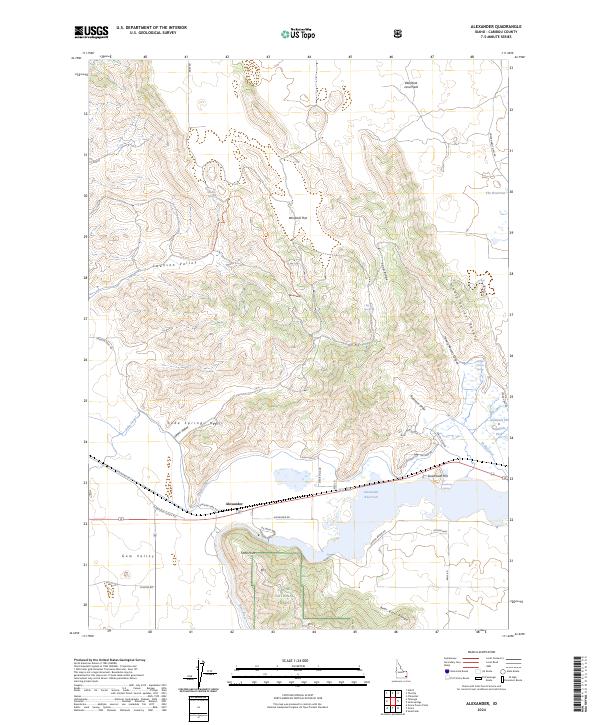
2024 Map of Alexander
USGS Topo · Published 2024About this map
Alexander sits at a critical geographic junction where the Bear River is impounded to form the Alexander Reservoir. This landscape is defined by the complex hydrology of the Soda Canal and the industrial presence of the Soda Point Power Plant, reflecting a century of water management in Caribou County. The terrain transitions from the volcanic remnants of the Blackfoot Lava Field in the north to the prominent heights of the Soda Springs Hills and the Bear River Range in the south.
Find a feature on this map
48 named features on this map. Tap any name to fly to it.
Don’t see what you’re looking for? This feature index may not catch every label — zoom into the map to look around manually.
Map Details
Editions of this 2024 Alexander Map
This is the sole edition of this map. No revisions or reprints were ever made.
Other maps of this area

1914 · Henry
USGS Topo · 1:48,000

1916 · Henry
USGS Topo · 1:62,500

1917 · Portneuf
USGS Topo · 1:62,500

1948 · Bancroft
USGS Topo · 1:62,500

1948 · Soda Springs
USGS Topo · 1:62,500

1949 · Bancroft
USGS Topo · 1:62,500

1949 · Soda Springs
USGS Topo · 1:62,500

1955 · Preston
USGS Topo · 1:250,000

1958 · Preston
USGS Topo · 1:250,000

1962 · Preston
USGS Topo · 1:250,000