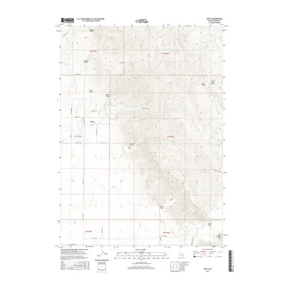
2017 Map of Hatch
USGS Topo · Published 2017About this map
The settlement of Hatch sits in a high-elevation drainage of Caribou County, where the landscape is defined by a series of parallel canyons and ridges. Local topography transitions from the high peaks of the Soda Springs Hills in the southeast toward the expansive Big Flat and Little Flat plateaus. The drainage network is complex, featuring Eighteenmile Cr and Tenmile Cr, which cut through the high country alongside several named hollows like Spring Hollow and Lake Hollow.
Find a feature on this map
43 named features on this map. Tap any name to fly to it.
Don’t see what you’re looking for? This feature index may not catch every label — zoom into the map to look around manually.
Map Details
Editions of this 2017 Hatch Map
This is the sole edition of this map. No revisions or reprints were ever made.
Other maps of this area

1914 · Henry
USGS Topo · 1:48,000

1916 · Henry
USGS Topo · 1:62,500

1917 · Portneuf
USGS Topo · 1:62,500

1948 · Bancroft
USGS Topo · 1:62,500

1948 · Soda Springs
USGS Topo · 1:62,500

1949 · Bancroft
USGS Topo · 1:62,500

1949 · Soda Springs
USGS Topo · 1:62,500

1955 · Preston
USGS Topo · 1:250,000

1958 · Preston
USGS Topo · 1:250,000

1962 · Preston
USGS Topo · 1:250,000